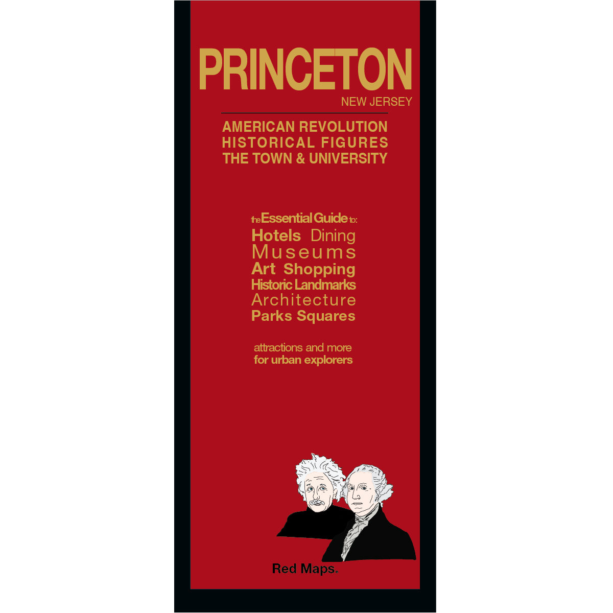
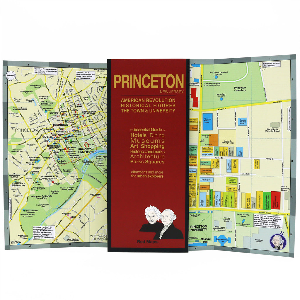
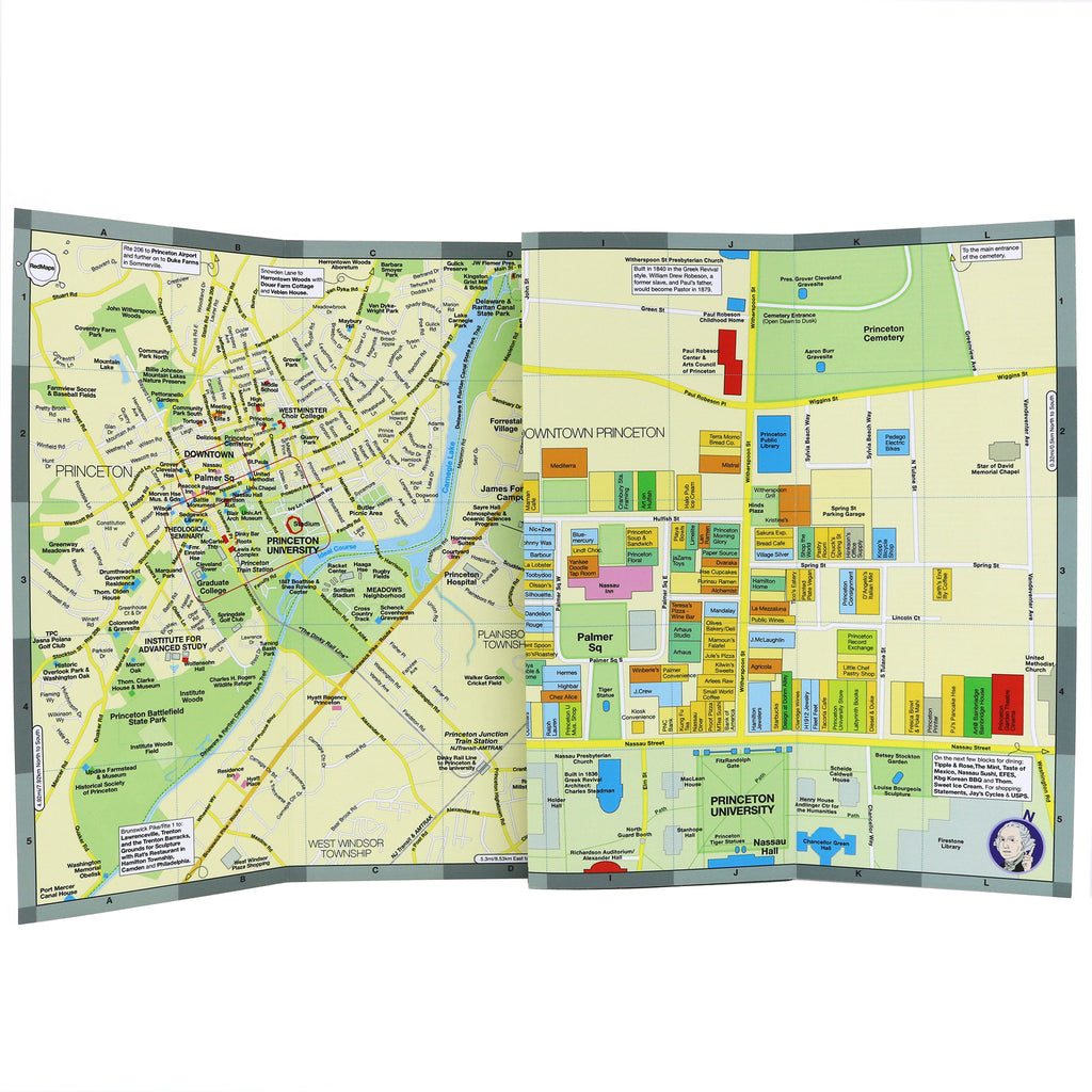
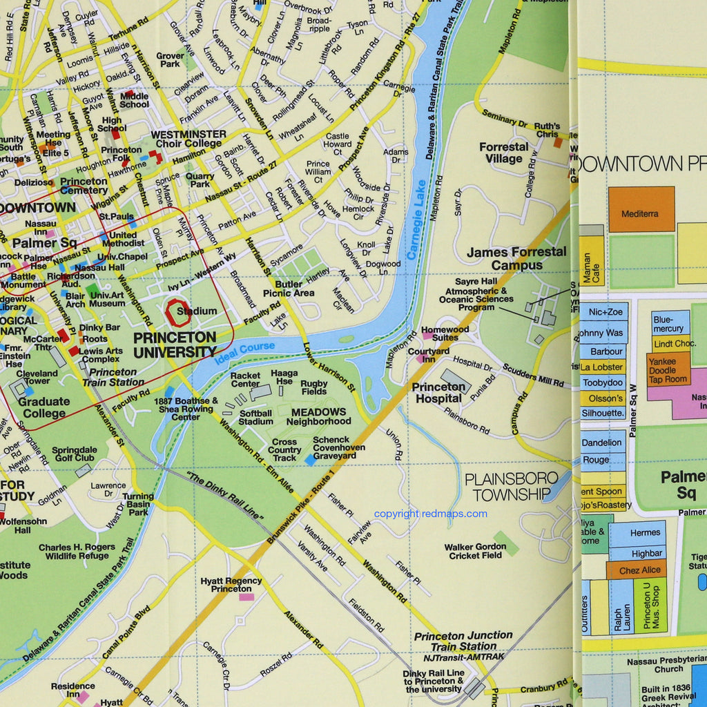
Red colored cover of a map of Princeton, New Jersey.
Map showing the area around Princeton, NJ.
Princeton New Jersey map showing the university's campus and landmarks.
Princeton map showing historic landmarks information and Princeton University campus.
Map of downtown Princeton New Jersey with shopping and dining.
Red Maps

PRINCETON NJ Map

Regular price $ 11.95 $ 0.00 Unit price per
Shipping calculated at checkout.

Map to Historic Princeton New Jersey

Map to the town of Princeton showing Princeton University campus, historic American Revolutionary War landmarks and downtown Princeton's shopping and restaurants. From George Washington to Albert Einstein, learn everything to see in this fascinating and charming town!
Laminated accordian-fold map shows you everything in a convenient pocket-size map.

Princeton Map Dimensions:

Map Folded: 4in. x 9.5in. or 24cm x 19cm.
Map Open: 24in. x 9.5in. or 61cm x 19cm

The Story of Red Maps City Guides


What is a Red Map?

Red Maps are travel maps to cities in the United States and Europe. Each Red Map provides a traveler with a comprehensive guide a city’s cultural attractions and places of interest. Red Maps have clear-graphics and easy-to-read, concisely-organized information. Red Maps are known as a very stylish guide to have, and have been recommended in over 100 magazines and newspapers.

What Information is on a Red Map?

  • Museums with descriptions of their art collections.
  • Centrally located hotels with contact information.
  • Addresses of independent shops and designer boutiques.
  • Interesting historic landmarks with descriptions.
  • Parks, gardens and open green spaces to explore.
  • Noteworthy cafes and restaurants.


  • Why are Red Maps the Best Map?

    Red Maps’ provide the traveler with concisely-organized information on a colorful, clearly-illustrated map.
    The graphics of a Red Map enables the traveler to see everything a city has to offer in one drawing.
    Red Maps are printed on a durable paper with a matte-laminated finish, that makes it easy to read both indoors or in direct sunlight.
    Each new edition of a Red Map incorporates fresh graphics and new ideas.
    Red Maps is dedicated to producing maps of the highest design and quality.

    The Story of how Red Maps Began

    The story of Red Maps began when I was working at a job in real estate...

    One lucky day, while drawing a map to show a client the locations of shops along Miami Beach’s Lincoln Road, a colleague passed my desk, saw my drawing, and casually mentioned that I had a talent for cartography. She suggested that I make maps professionally.

    Giving it some thought, I proceeded to try just that. Each day after work I would teach myself computer-graphics by reading one chapter from an Adobe Illustrator manual. It took over one year’s time to produce the first Red Maps for sale in May of 1998.

    Jim Leniart
    Owner/Creative Director

    Why are Red Maps called Red Maps?

    The name Red Maps came from the simple idea that if a customer didn't know our name, they could ask a store clerk for “the map with the red cover.

    Where is the Red Maps company located?

  • Red Maps is a small, independently-owned company based in New York City.
  • All Red Map products are produced in the New York metropolitan area by a dedicated and talented group of individuals.
  • Red Maps are 100% Made in the USA.

  • What is Red Maps’ Philosophy?

  • Red Maps does not accept advertising.
  • Places of interest are included on Red Maps because they are noteworthy.
  • Our philosophy makes it easy to be true to what we do by staying objective.

  • Red Maps donates product to Charities.

    Red Maps is pleased to donate product to charitable organizations including AidforAIDS, ACRIA and the New York Botanical Garden.

    Share this Product