


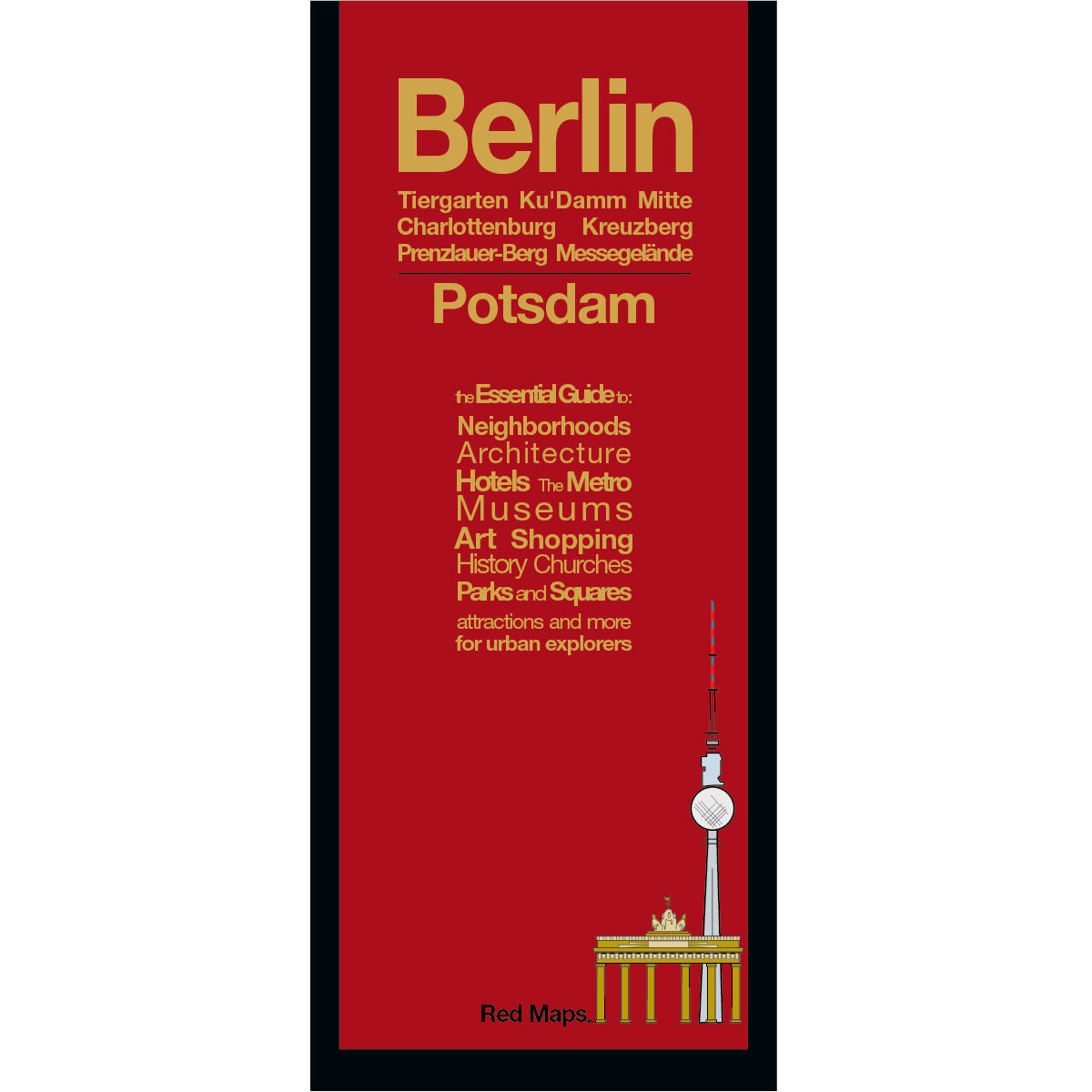

BERLIN City Center Map
Foldout Travel Map of Berlin
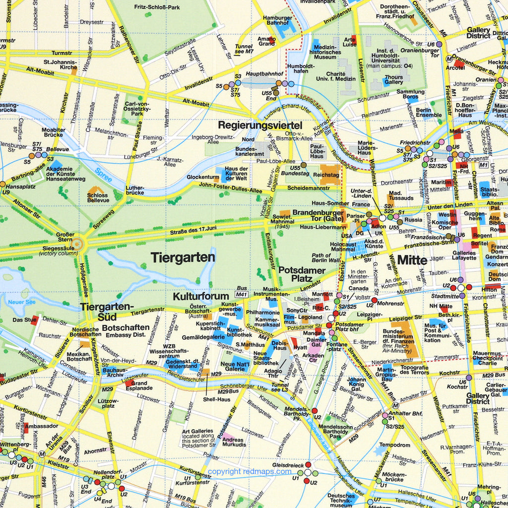
Laminated pocket-sized map of central Berlin shows you in one easy-to-read colorful map everything you'll want to see this fascinating German city.
Information on the Map Includes:
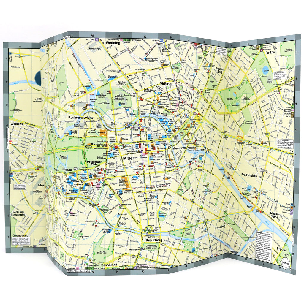
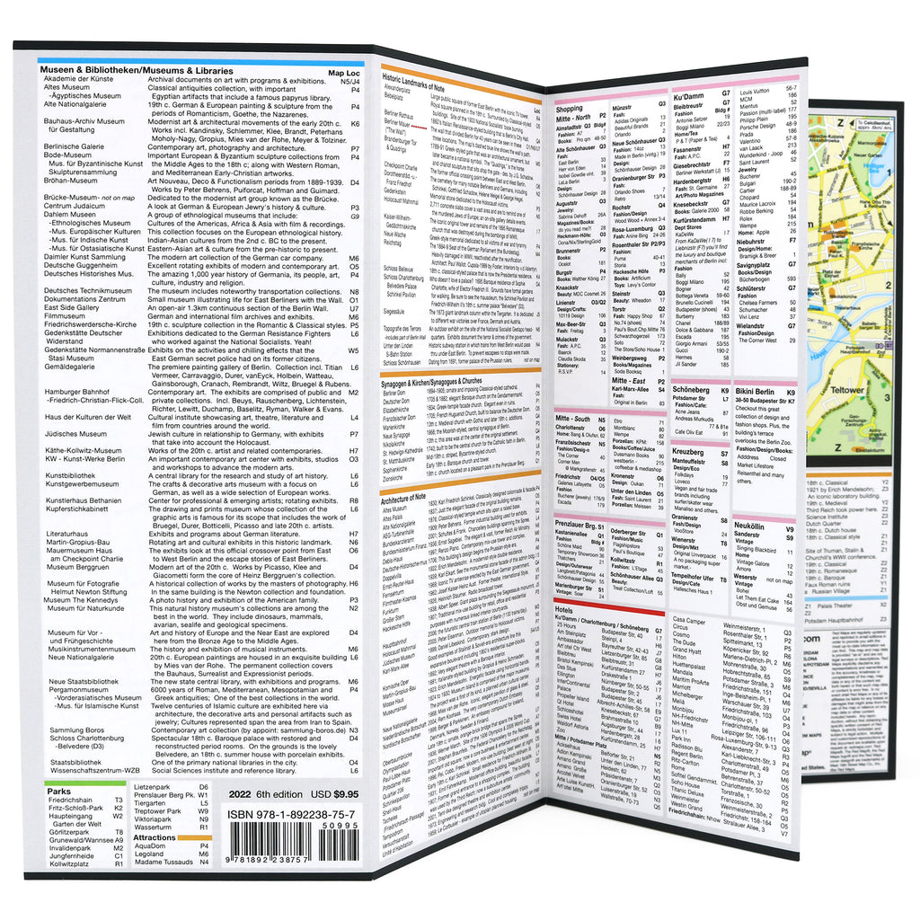
Important historical landmarks.Useful facts about Berlin's popular attractions.
Museum collection highlights.
Central Berlin boutique hotels.
Streets & squares clearly identified.
Charming local German merchants.
Metro stations & routes shown on map.
Parks, Berlin, Zoo, theatres and stadiums.
Bonus a zoom-in map of nearby Potsdam, Germany.
Neighborhoods on this Map
Berlin Red Map shows these neighborhoods: Museuminsel, Mitte, Prenzlauer Berg, Kreuzberg, Ku'damm, Charlottenburg, Tiergarten, Kulturforum, Potsdamer Platz, Schoneberg, and the Regierungviertel.
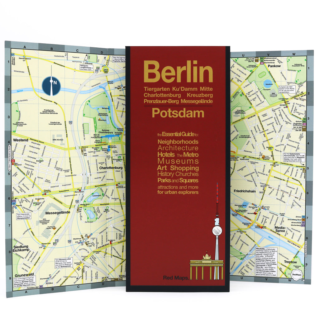
Map Dimensions
Opens to 24 in. wide x 9.5 in. tall; 61 cm x 19 cm
Map folds to 4 in. wide x 9.5 in. tall; 24 cm x 19 cm
No-glare matte, easy-to-read indoors and outdoors.
Travel Tips for Berlin
Our travel blog has great ideas to help you enjoy your Berlin vacation, here is one article about a TOUR OF BERLIN'S ATTRACTIONS USING THE METRO.