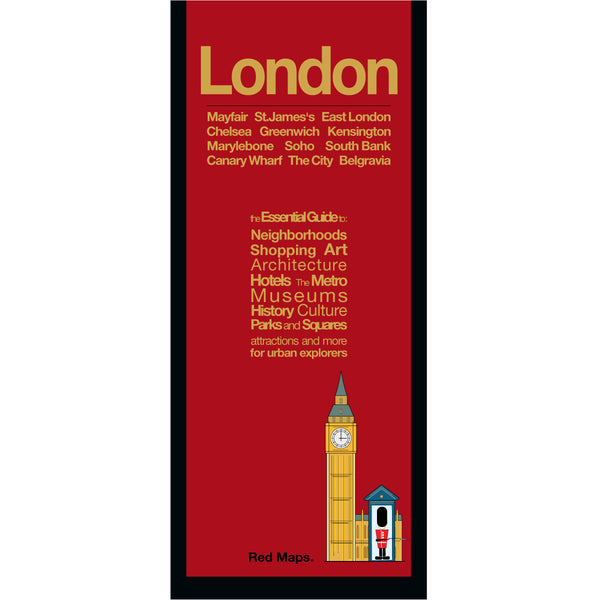
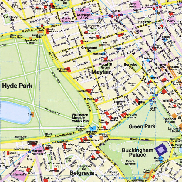
LONDON City Center Map
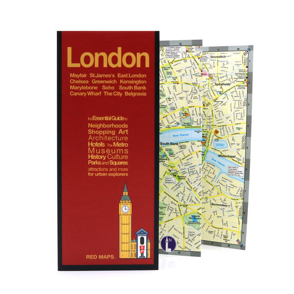
Foldout Travel Map of London
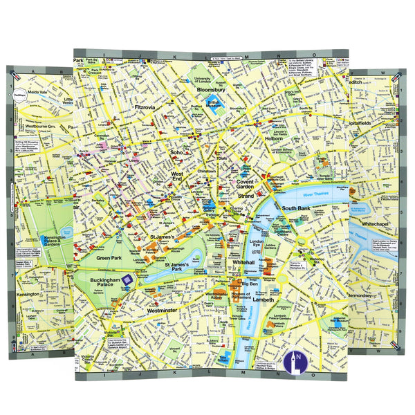
Laminated pocket-sized map of central London shows you in one easy-to-read colorful map everything you'll want to see in the city.
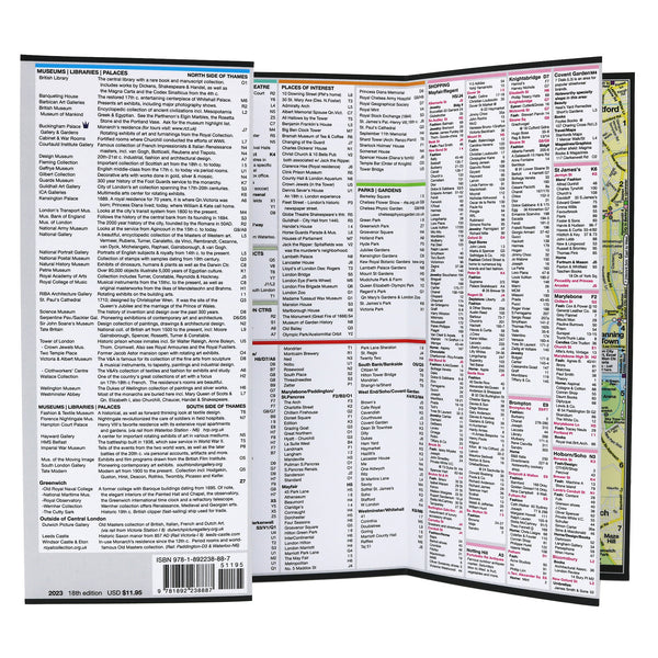
Information on the Map Includes:
Important historical landmarks.
Useful facts about London's attractions.
Museum collection highlights.
Central London boutique hotels.
Streets & squares clearly identified.
Charming local London shopkeepers.
Tube stations & routes shown on map.
Parks, theatres and stadiums.
Neighborhoods on the London Map
Bankside, The City, Mayfair, Greenwich, Marylebone, Broadgate, Kensington, Hyde Park, Canary Wharf, Southwark, Spitalfields, Covent Garden, Soho, Fitzrovia, Bloomsbury, Knightsbridge, and Belgravia.
Map Dimensions
Opens to 24 in. wide x 9.5 in. tall; 61 cm x 19 cm
Map folds to 4 in. wide x 9.5 in. tall; 24 cm x 19 cm
No-glare matte finish, easy-to-read map indoors and outdoors.


