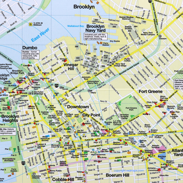
BROOKLYN Neighborhoods Street Map
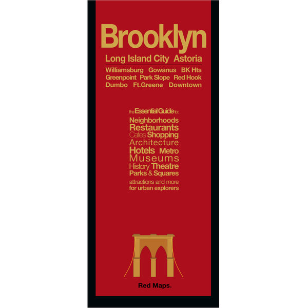
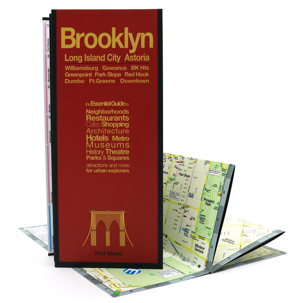
Foldout Travel Map to Brooklyn
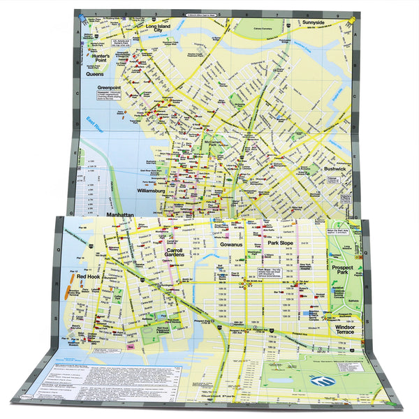
Experience and discover everything you've heard about Brooklyn's culture, restaurants and art scenes with the Red Map. Concisely organized to get you quickly on your way to the famous shops, cafes and neighborhoods you've seen on TV and in the movies. A special map of Long Island City, Queens is included with its own popular attractions, restaurants and cultural points of interest.
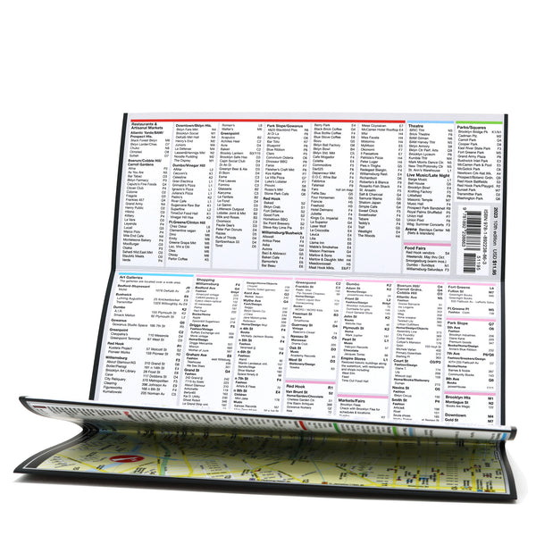
Information on the Map:
Popular attractions & points of interest.
Museums with collection highlights.
Landmarks and monuments.
Brief historical descriptions.
Restaurants, cafes & food halls.
Local shops and merchants.
Parks and gardens
Movie Studios
NYC Subway stations.
Neighborhoods on the Map
Williamsburg, Greenpoint, Dumbo, Brooklyn Heights, Downtown Brooklyn, City Point, Fort Greene, Park Slope, Boerum Hill, Red Hook, Carroll Gardens, Bushwick, plus Long Island City and Astoria, Queens.
Map Dimensions:
Opens to 24 in. wide x 9.5 in. tall; 61 cm x 19 cm.
Map folds to 4 in. wide x 9.5 in. tall; 24 cm x 19 cm.
No-glare matte laminated finish makes the map easy-to-read indoors and outdoors.


