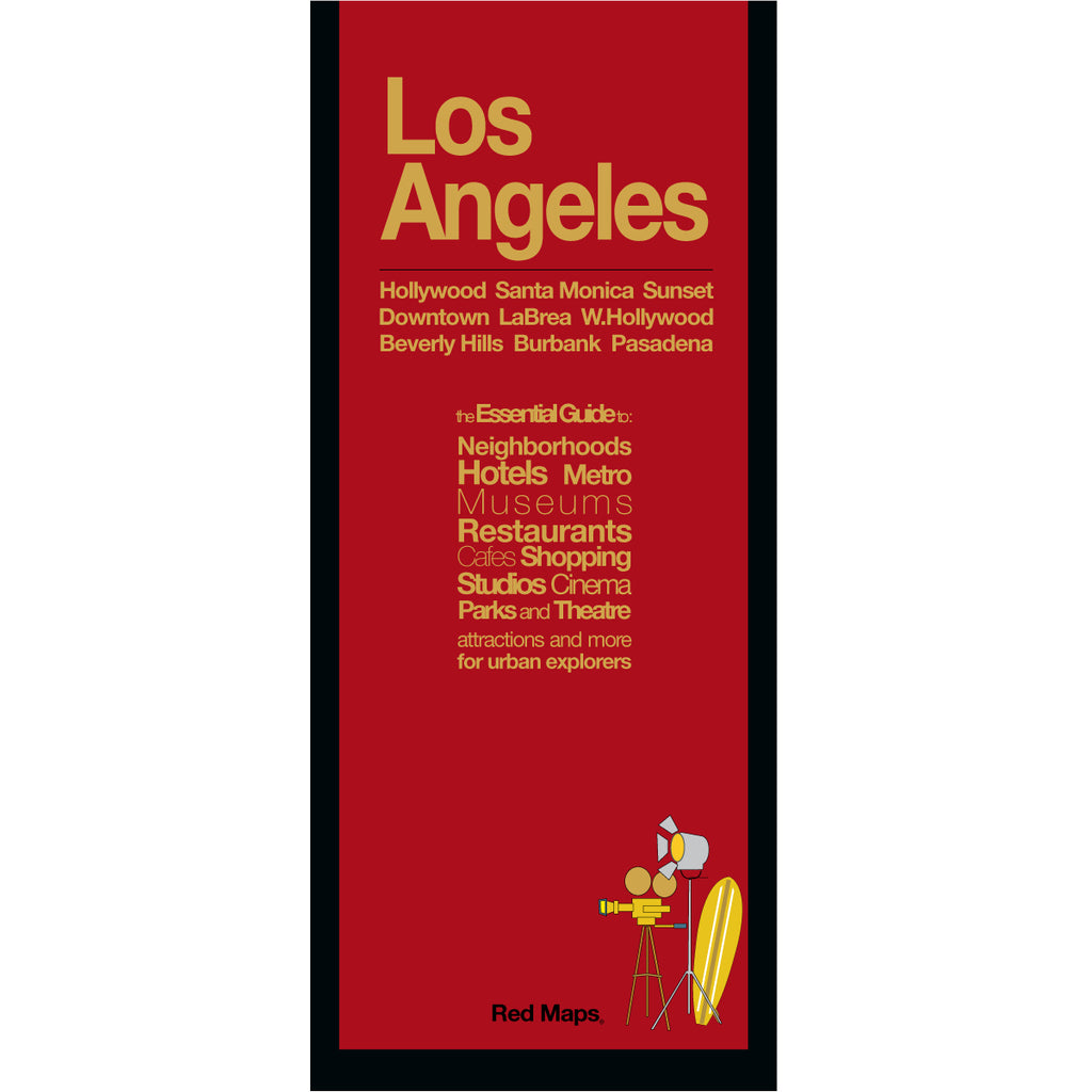
LOS ANGELES Neighborhoods Travel Map
Foldout Travel Map of Los Angeles
Get ready to experience the best of LA's most popular attractions and hidden gems; explore cool neighborhoods, discover new museums, luxury shopping and indulgent restaurants. The Red Map makes it easy to see and learn about Hollywood's important landmarks, studios and history - all in one easy-to-read view!
Information on the Map:
Popular attractions and points of interest.
Movie studios and Hollywood landmarks
Restaurants and cafes.
Brief historical insights and descriptions.
Museums' collection highlights.
Local and luxury shopping.
Centrally located hotels.
Outdoor spaces and parks.
LA Metro stations and routes.
Neighborhoods on the Los Angeles Map
Santa Monica, Beverly Hills, Downtown LA, West Hollywood, Hollywood, Pasadena, Westwood, Hollywood HIlls, Burbank, Bel Air and Mid-Wilshire.
Map Dimensions:
Opens to 24 in. wide x 9.5 in. tall; 61 cm x 19 cm.
Map folds to 4 in. wide x 9.5 in. tall; 24 cm x 19 cm.
No-glare matte laminated finish makes the map easy-to-read indoors and outdoors.
Travel Tips and Ideas for Los Angeles
The Story of Red Maps City Guides
What is a Red Map?
Red Maps are travel maps to cities in the United States and Europe. Each Red Map provides a traveler with a comprehensive guide a city’s cultural attractions and places of interest. Red Maps have clear-graphics and easy-to-read, concisely-organized information. Red Maps are known as a very stylish guide to have, and have been recommended in over 100 magazines and newspapers.What Information is on a Red Map?
Why are Red Maps the Best Map?
The Story of how Red Maps Began
The story of Red Maps began when I was working at a job in real estate...One lucky day, while drawing a map to show a client the locations of shops along Miami Beach’s Lincoln Road, a colleague passed my desk, saw my drawing, and casually mentioned that I had a talent for cartography. She suggested that I make maps professionally.
Giving it some thought, I proceeded to try just that. Each day after work I would teach myself computer-graphics by reading one chapter from an Adobe Illustrator manual. It took over one year’s time to produce the first Red Maps for sale in May of 1998.
Jim Leniart
Owner/Creative Director