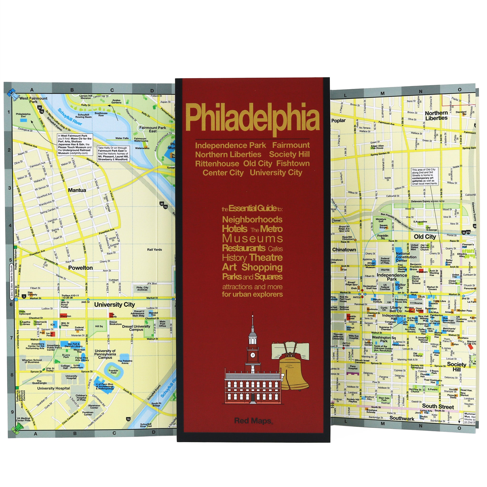
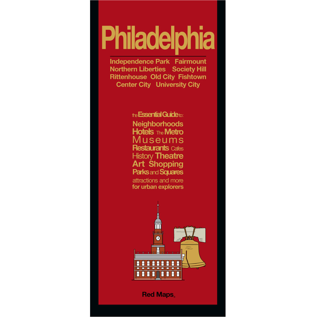
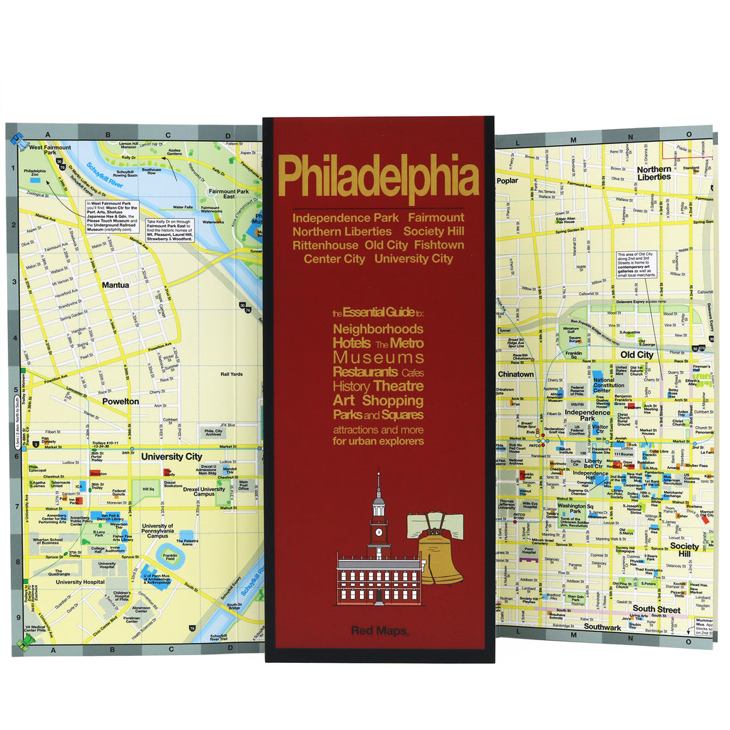
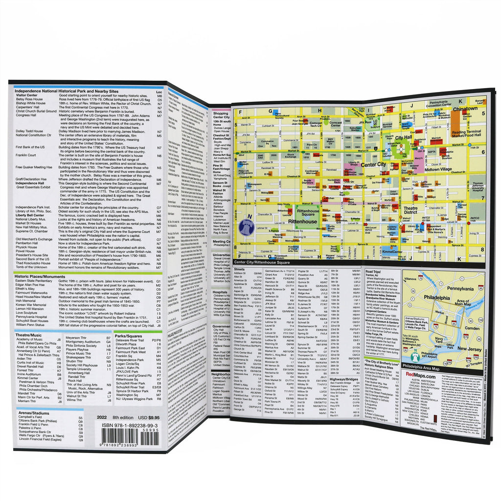
PHILADELPHIA City Center Map
Foldout Travel Map for Philadelphia
Discover Philadelphia's rich history, historic attractions and points of interest. Follow in the footsteps of the Founding Fathers with helpful insights, stroll the Philly's charming neighborhoods and enjoy its great restaurant scene. You won't miss a thing, with the Red Map, and you'll have the vacation of a lifetime!
Information on the Map:
Popular attractions & points of interest.
American Revolution landmarks and monuments.
Helpful brief historical descriptions.
Restaurants and cafes.
Museums' collection highlights.
Local shops and merchants.
Centrally located hotels.
Outdoor spaces and parks.
Philly's subway stations shown on map.
Map Dimensions:
Opens to 24 in. wide x 9.5 in. tall; 61 cm x 19 cm.
Map folds to 4 in. wide x 9.5 in. tall; 24 cm x 19 cm.
No-glare matte laminated finish makes the map easy-to-read indoors and outdoors.
Travel Tips and Ideas for Philadelphia
PHILADEPLHIA'S BEST CHEESESTEAKS AND DONUTSThe Story of Red Maps City Guides
What is a Red Map?
Red Maps are travel maps to cities in the United States and Europe. Each Red Map provides a traveler with a comprehensive guide a city’s cultural attractions and places of interest. Red Maps have clear-graphics and easy-to-read, concisely-organized information. Red Maps are known as a very stylish guide to have, and have been recommended in over 100 magazines and newspapers.What Information is on a Red Map?
Why are Red Maps the Best Map?
The Story of how Red Maps Began
The story of Red Maps began when I was working at a job in real estate...One lucky day, while drawing a map to show a client the locations of shops along Miami Beach’s Lincoln Road, a colleague passed my desk, saw my drawing, and casually mentioned that I had a talent for cartography. She suggested that I make maps professionally.
Giving it some thought, I proceeded to try just that. Each day after work I would teach myself computer-graphics by reading one chapter from an Adobe Illustrator manual. It took over one year’s time to produce the first Red Maps for sale in May of 1998.
Jim Leniart
Owner/Creative Director