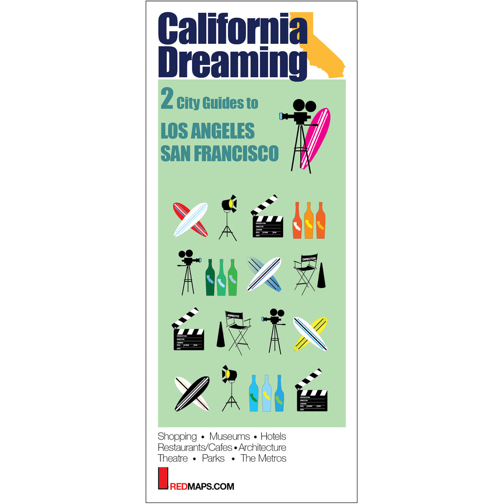
CALIFORNIA DREAMING: 2 Maps Set
Los Angeles & San Francisco Travel Maps
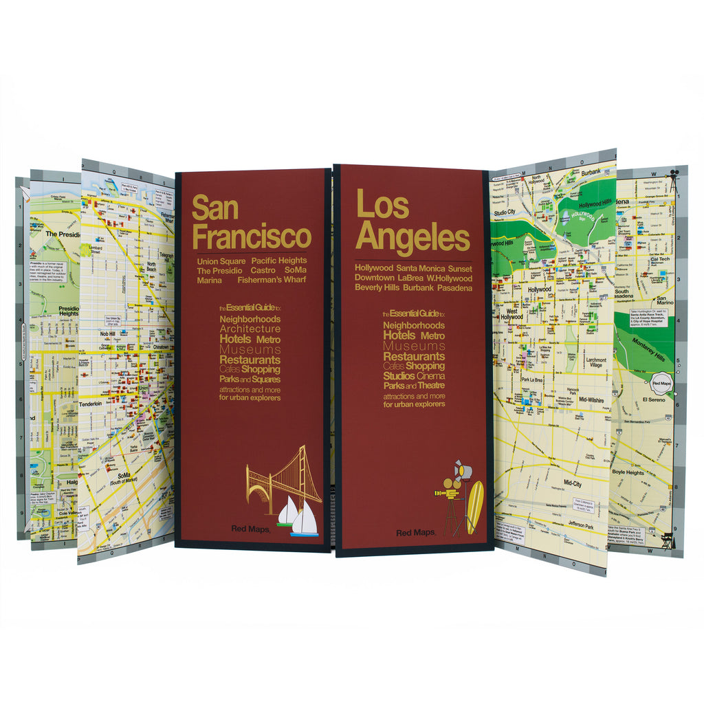
Discover the best of San Francisco and Los Angeles’ popular attractions and points of interest with Red Maps. Easy-to-read foldout maps make it a breeze to see great art, find new restaurants and explore SF & LA's cool neighborhoods and natural beauty. Get ready for a sun-kissed vacation!
Information on the Maps:
Popular attractions & points of interest.
Museums with collection highlights.
Famous landmarks and monuments.
Brief historical descriptions.
Hotels and inns.
Parks and gardens.
Restaurants and cafes.
Local and luxury shopping.
Stadiums, theaters & arenas.
Metro stations and routes.
Map Dimensions:
Opens to 24 in. wide x 9.5 in. tall; 61 cm x 19 cm.
Map folds to 4 in. wide x 9.5 in. tall; 24 cm x 19 cm.
No-glare laminated finish makes the maps easy-to-read indoors and outdoors.
The Story of Red Maps City Guides
What is a Red Map?
Red Maps are travel maps to cities in the United States and Europe. Each Red Map provides a traveler with a comprehensive guide a city’s cultural attractions and places of interest. Red Maps have clear-graphics and easy-to-read, concisely-organized information. Red Maps are known as a very stylish guide to have, and have been recommended in over 100 magazines and newspapers.What Information is on a Red Map?
Why are Red Maps the Best Map?
The Story of how Red Maps Began
The story of Red Maps began when I was working at a job in real estate...One lucky day, while drawing a map to show a client the locations of shops along Miami Beach’s Lincoln Road, a colleague passed my desk, saw my drawing, and casually mentioned that I had a talent for cartography. She suggested that I make maps professionally.
Giving it some thought, I proceeded to try just that. Each day after work I would teach myself computer-graphics by reading one chapter from an Adobe Illustrator manual. It took over one year’s time to produce the first Red Maps for sale in May of 1998.
Jim Leniart
Owner/Creative Director