NEW ORLEANS City Travel Map
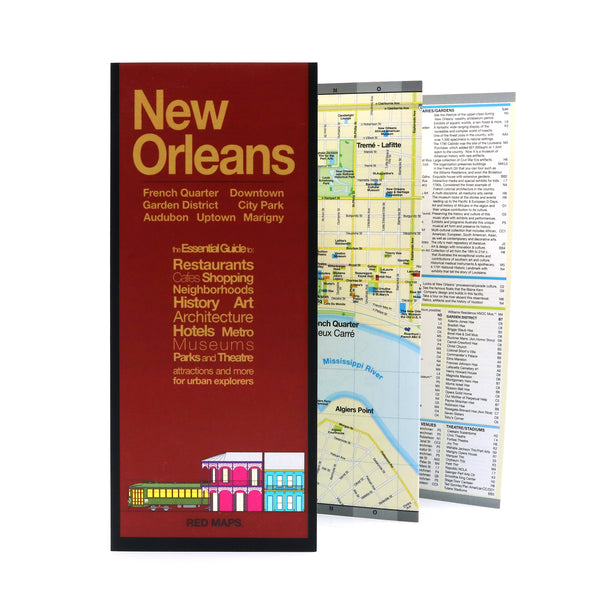
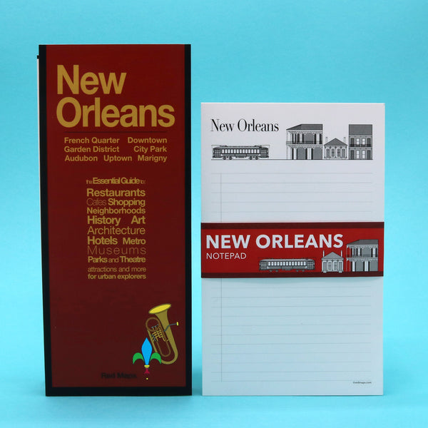
Foldout Travel Map for New Orleans
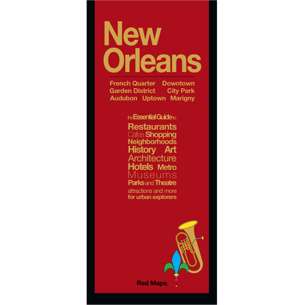
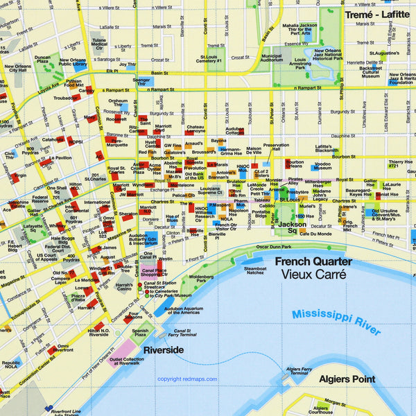
Explore historic New Orleans and indulge in its famous Creole and Cajun restaurants with the Red Map. Tour the Garden District's historic mansions, hear live music in the French Quarter, and walk under 200 year old giant oak trees. There is no other city like New Orleans!
Information on the Map:
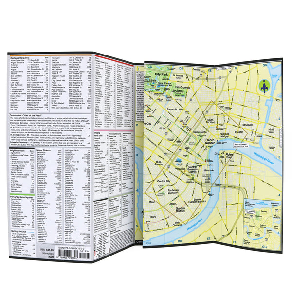
Popular attractions and points of interest.
Famous restaurants and cafes.
Garden District monuments and mansions.
French Quarter live music venues.
Brief historical insights and descriptions.
Centrally located hotels.
Famous streetcar routes shown on map.
Museums' collection highlights.
Local shops and merchants.
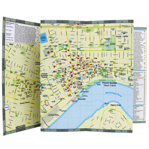
Neighborhoods on the New Orleans Map
French Quarter, Garden District, Audubon Park, New Orleans City Park and the Fair Grounds, Treme-Lafitte, Loyola, Central Business District, St. Claude and Uptown.
Map Dimensions:
Opens to 24 in. wide x 9.5 in. tall; 61 cm x 19 cm.
Map folds to 4 in. wide x 9.5 in. tall; 24 cm x 19 cm.
No-glare matte laminated finish makes the map easy-to-read indoors and outdoors.


