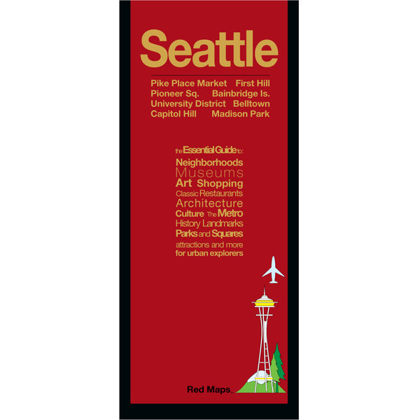
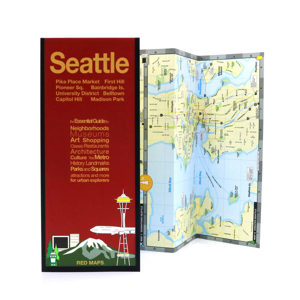
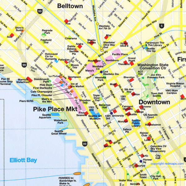
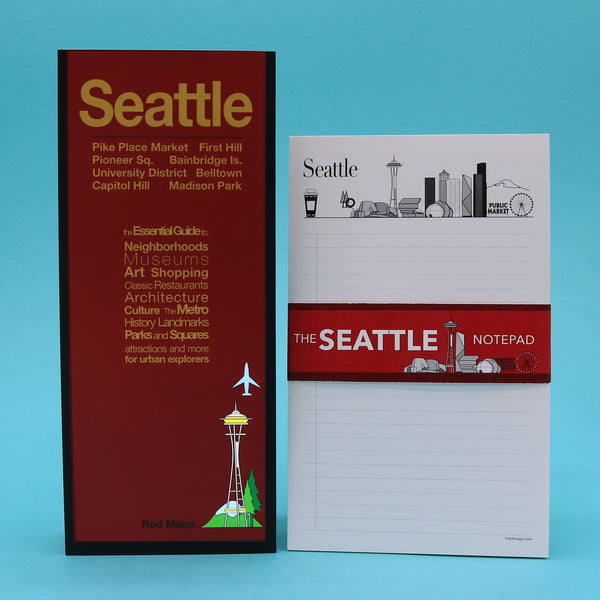
SEATTLE City Center Map
Red Maps have concisely-organized lists of museums, interesting shops, centrally located hotels, important landmarks plus useful descriptions and helpful tips.
Seattle Map Highlights
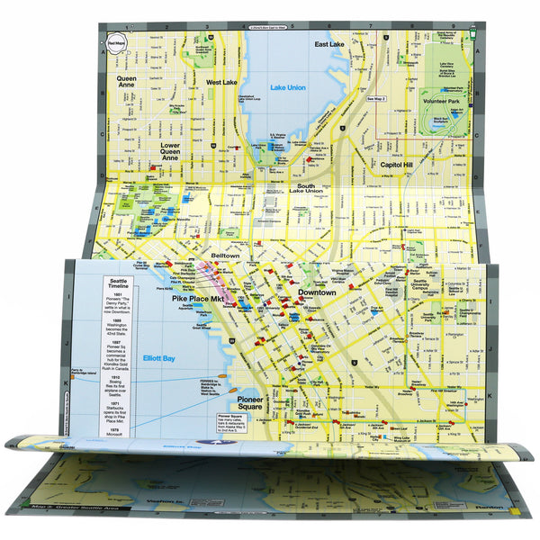
- Seattle’s Subway stations and routes are shown directly on this map.
- Helpful bright colors quickly organize information for you.
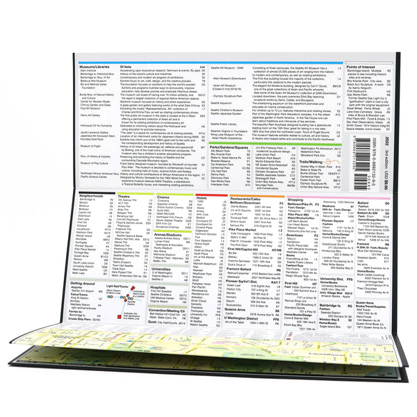
- Popular Seattle restaurants and cafes are organized by neighborhood.
- Indie Seattle merchants and shops are listed with their addresses.
- Descriptions of museum collections get you to the masterpieces fast!
- Our unique matte-finish makes Red Maps easy-to-read both indoors and in sunlight.
- Memory-accordion folds allows map to quickly open and close.
- Strong paper and laminate-finish means this map will last the trip!
- Red Maps - 22 Years of Travel Experience. Made in the USA.
- Seattle Map Dimensions:
- Folded Map: 4-in. x 9.5-in. or 24-cm x 19-cm
- Opened Map: 24-in. x 9.5-in. or 61-cm x 19-cm


Attractions to See in Seattle
The best way to explore Downtown Seattle is on foot. The hilly streets with their surprising views of Elliott Bay make for entertaining strolls. We like the First Hill neighborhood’s shops and cafes - it has a youthful vibe. You can find a multitude of small cafes in and near Pike Place Market, including the original Starbuck’s location.
And speaking of what Seattle is famous for there is: coffee (Starbucks), aerospace (Boeing) and technology (Microsoft).
The Arts in Seattle
The Seattle Art Museum also has a location downtown featuring contemporary and Pacific indigenous peoples’ works, which are almost interchangeable in their similarities. The Seattle Asian Museum is located in pretty Volunteer Park, is worth a visit for its historical and contemporary Asian art exhibits. And to see pop culture there is the Seattle Museum of Pop Culture! located next to the famous city's iconic Space Needle.
Important Places to See in Seattle:
In Volunteer Park see Isamu Noguchi's iconic Black Sun sculpture. The fantastic angular glass structure of the Seattle Public Library - designed by Rem Koolhaas.
Take a walk around historic Pioneer Square where Seattle was first settled in 1851, and which developed in a commercial hub in 1897, during the Klondike Gold Rush.
Food and Wine: Ferries can take you to Bainbridge Island for visits to wineries. It’s also a great way to get out on windy Elliott Bay. Pike Place Market is great for quick bites and fresh seafood.
Seattle and Beyond, Find-out More Things to See :
ROAD TRIP PART II: MT. ST. HELENS and DOWNTOWN SEATTLE
PORTLAND, OREGON and Mt. St. Helen's ROAD TRIP!
Customers also like our SEATTLE LANDMARKS THEMED NOTECARDS
The Story of Red Maps City Guides
What is a Red Map?
Red Maps are travel maps to cities in the United States and Europe. Each Red Map provides a traveler with a comprehensive guide a city’s cultural attractions and places of interest. Red Maps have clear-graphics and easy-to-read, concisely-organized information. Red Maps are known as a very stylish guide to have, and have been recommended in over 100 magazines and newspapers.What Information is on a Red Map?
Why are Red Maps the Best Map?
The Story of how Red Maps Began
The story of Red Maps began when I was working at a job in real estate...One lucky day, while drawing a map to show a client the locations of shops along Miami Beach’s Lincoln Road, a colleague passed my desk, saw my drawing, and casually mentioned that I had a talent for cartography. She suggested that I make maps professionally.
Giving it some thought, I proceeded to try just that. Each day after work I would teach myself computer-graphics by reading one chapter from an Adobe Illustrator manual. It took over one year’s time to produce the first Red Maps for sale in May of 1998.
Jim Leniart
Owner/Creative Director