Washington DC map with a red colored cover.
Foldout map of central Washington DC neighborhoods.
Washington DC foldout central neighborhoods map with museums and theaters.
Foldout map of Washington DC with points of interest, restaurants, hotels and shopping information.
Washington DC travel map showing attractions in Downtown DC, Penn Quarter, and the Mall
Red Maps

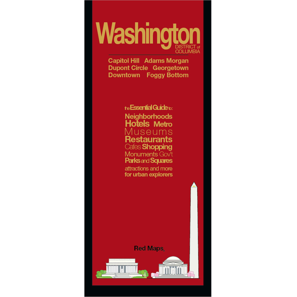
WASHINGTON DC City Center Map

Regular price $ 11.95 $ 11.95 Unit price per
Shipping calculated at checkout.
Exploring Washington DC is easy and fun with a Red Map. This Washington DC map is comprehensive, compact, and easy-to-read, which makes planning your trip a Breeze!

Red Maps have concisely-organized lists of museums, interesting shops, centrally located hotels, important landmarks plus useful descriptions and helpful tips.

Washington, DC Map Highlights

  • Washington DC Metro stations and routes are shown directly on this map.
  • Helpful bright colors quickly organize information for you.
  • Popular Washington DC restaurants and cafes are organized by neighborhood.
  • Indie Washington DC merchants and shops are listed with their addresses.
  • Descriptions of museum collections get you to the masterpieces fast!
  • Our unique matte-finish makes Red Maps easy-to-read both indoors and in sunlight.
  • Memory-accordion folds allows map to quickly open and close.
  • Strong paper and laminate-finish means this map will last the trip!
  • Red Maps - 22 Years of Travel Experience. Made in the USA.
  • Washington DC Map Dimensions:
    • Folded Map: 4-in. x 9.5-in. or 24-cm x 19-cm
    • Opened Map: 24-in. x 9.5-in. or 61-cm x 19-cm

image of sunny restaurants in washington dcimage of art from Washington DC museums

IN WASHINGTON DC YOU SHOULD SEE:

Attractions to See in Washington DC include The White House, The Capitol, the National Archives, along with the beautiful and awe-inspiring Lincoln and Jefferson Memorials and the elegant Washington Monument.

The art in Washington DC is second to none, so be sure to see the Old-Masters of the National Gallery and The Phillips Collection.  Historically speaking, DC's Holocaust Museum changed the way museum-goers experienced this type of one-subject institution - it is not to be missed.

Make time to see the vast collections of the Smithsonian Museums which includes the Air & Space Museum, the venerable Hirshhorn Museum and the Sackler Gallery.

If it's spring, try to time your vacation to see the dazzling DC Cherry Blossom Festival that happens along the Tidal Basin.  Remember that the Folger Library is one of the great repositories of William Shakespeare's papers.

There's too much to mention here, but consider seeing Ford's Theatre and the Peterson House (where Lincoln was assassinated and died) the sobering Arlington Cemetery and the World War II Memorial.

Doing business with the government?  The guide includes an extensive list of US government offices and departments.

FIND OUT MORE:

QUICK GUIDE TO WASHINGTON DC CHERRY BLOSSOM FESTIVAL

SUNNY WASHINGTON DC RESTAURANTS

Customers also like our WASHINGTON DC LANDMARK THEMED NOTECARDS

The Story of Red Maps City Guides


What is a Red Map?

Red Maps are travel maps to cities in the United States and Europe. Each Red Map provides a traveler with a comprehensive guide a city’s cultural attractions and places of interest. Red Maps have clear-graphics and easy-to-read, concisely-organized information. Red Maps are known as a very stylish guide to have, and have been recommended in over 100 magazines and newspapers.

What Information is on a Red Map?

  • Museums with descriptions of their art collections.
  • Centrally located hotels with contact information.
  • Addresses of independent shops and designer boutiques.
  • Interesting historic landmarks with descriptions.
  • Parks, gardens and open green spaces to explore.
  • Noteworthy cafes and restaurants.


  • Why are Red Maps the Best Map?

    Red Maps’ provide the traveler with concisely-organized information on a colorful, clearly-illustrated map.
    The graphics of a Red Map enables the traveler to see everything a city has to offer in one drawing.
    Red Maps are printed on a durable paper with a matte-laminated finish, that makes it easy to read both indoors or in direct sunlight.
    Each new edition of a Red Map incorporates fresh graphics and new ideas.
    Red Maps is dedicated to producing maps of the highest design and quality.

    The Story of how Red Maps Began

    The story of Red Maps began when I was working at a job in real estate...

    One lucky day, while drawing a map to show a client the locations of shops along Miami Beach’s Lincoln Road, a colleague passed my desk, saw my drawing, and casually mentioned that I had a talent for cartography. She suggested that I make maps professionally.

    Giving it some thought, I proceeded to try just that. Each day after work I would teach myself computer-graphics by reading one chapter from an Adobe Illustrator manual. It took over one year’s time to produce the first Red Maps for sale in May of 1998.

    Jim Leniart
    Owner/Creative Director

    Why are Red Maps called Red Maps?

    The name Red Maps came from the simple idea that if a customer didn't know our name, they could ask a store clerk for “the map with the red cover.

    Where is the Red Maps company located?

  • Red Maps is a small, independently-owned company based in New York City.
  • All Red Map products are produced in the New York metropolitan area by a dedicated and talented group of individuals.
  • Red Maps are 100% Made in the USA.

  • What is Red Maps’ Philosophy?

  • Red Maps does not accept advertising.
  • Places of interest are included on Red Maps because they are noteworthy.
  • Our philosophy makes it easy to be true to what we do by staying objective.

  • Red Maps donates product to Charities.

    Red Maps is pleased to donate product to charitable organizations including AidforAIDS, ACRIA and the New York Botanical Garden.

    Share this Product