


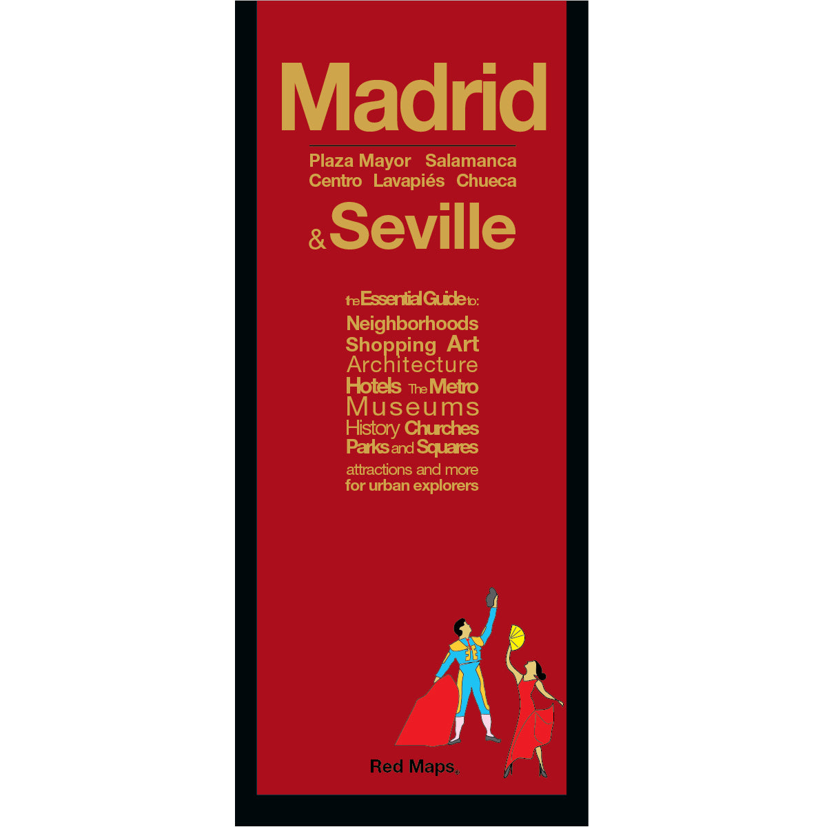


MADRID City Center Street & Attractions Map
This pocket-sized map of central Madrid helps you navigate the Spanish capital with confidence, showing you everything you'll want to see in one easy-to-read view. Explore iconic sights from the majestic Royal Palace and the Golden Triangle of Art—the Prado, Reina Sofía, and Thyssen-Bornemisza museums—to historic plazas.
See the stars of Real Madrid play a match, stroll the gardens and paths of Parque del Retiro, and discover the artisan neighborhood shops of Centro, Chueca, and elegant Salamanca.
FEATURED ON THE MADRID MAP
Historic landmarks, Royal Palace & architectural monuments.
Prado Museum, Reina Sofía & Thyssen collection highlights.
Centrally located hotels & historic plazas.
Clearly identified streets, avenues, and pedestrian walkways.
Local Madrid merchants & historic artisan shops.
Parque del Retiro, Parque del Oeste & Royal Gardens.
Teatro Real, theaters, and Real Madrid Santiago Bernabéu Stadium.
Metro stations & transit routes shown on map.
NEIGHBORHOODS ON THE MAP
Madrid map shows these neighborhoods: Centro, Chueca, Sol, Las Cortes, Salamanca, Plaza Mayor, Recoletos, Justicia, Las Letras, Castellana, and Lavapies.
AS SEEN IN AND RECOMMENDED BY
Travel + Leisure, The New York Times, British Vogue, Harper's Bazaar, Condé Nast Traveller, ELLE, Wallpaper*, Town & Country, The Washington Post, The Wall Street Journal, Highsnobiety, and Madame Figaro — among over 100 purveyors of style, travel & design.
MAP DIMENSIONS & MATERIALS
Opens to 24 in. wide x 9.5 in. tall | 61 cm x 24 cm
Map folds to a compact 4 in. wide x 9.5 in. tall | 10 cm x 24 cm
Printed on premium cover-weight stock.
No-glare matte laminated finish, easy to read indoors and outdoors.