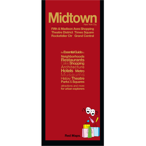
NYC Neighborhood Travel Maps
Illustrated Maps of New York City Neighborhoods
Discover New York City like never before through Red Maps' signature illustrated street maps — renowned for their tactile finish, richly detailed illustrations, and intelligent layout.
Block-by-block detail covers the Big Apple's popular attractions, shops, museums, hotels, restaurants, parks, Broadway theaters, subways, and landmarks — all at a glance. Compact, foldout, and ready for your adventure.