


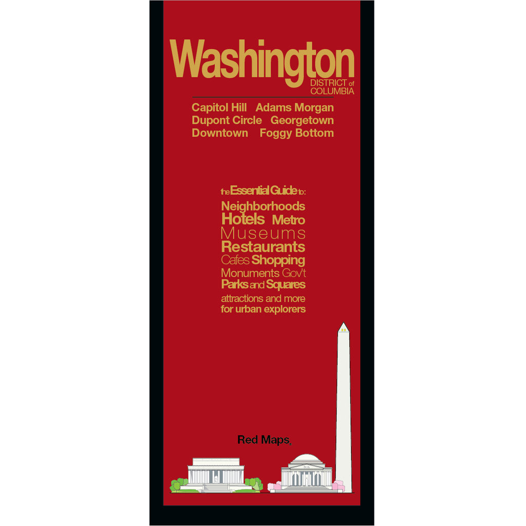


WASHINGTON DC City Center Travel Map
Laminated Foldout Travel Map & Guide for Washington, DC
Discover Washington’s rich history, iconic monuments, and world-class museums with this easy-to-use pocket map. From the National Mall and Smithsonian sites to charming neighborhoods, historic landmarks, and Metro routes, this detailed guide helps you navigate the nation’s capital with ease.
FEATURED ON THE WASHINGTON, DC MAP
National Mall monuments & Memorials.
Popular DC attractions and iconic landmarks.
DC Cherry Blossom Tree Festival locations.
Historical and architectural landmarks.
Smithsonian & 40+ museums with collection highlights.
Restaurants, cafes & dining.
Local boutiques and luxury shopping.
Centrally located hotels.
Stadiums, arenas, theaters & music venues.
Outdoor spaces, parks & Tidal Basin monuments.
DC Metro stations, lines & transit routes.
NEIGHBORHOODS ON THE MAP
National Mall, Capitol Hill, Penn Quarter, Chinatown, Downtown, CityCenterDC, Dupont Circle, Georgetown, Logan Circle, Foggy Bottom, Mount Vernon Square near the Convention Center, NoMa, South of the Mall (including The Wharf), Rosslyn, VA, and Arlington National Cemetery.
AS SEEN IN AND RECOMMENDED BY
Travel + Leisure, The New York Times, British Vogue, Harper's Bazaar, Condé Nast Traveller, ELLE, Wallpaper*, Town & Country, The Washington Post, The Wall Street Journal, Highsnobiety, and Madame Figaro — among over 100 purveyors of style, travel & design.
MAP DIMENSIONS & MATERIALS
Opens to 24 in. wide x 9.5 in. tall | 61 cm x 24 cm
Map folds to a compact 4 in. wide x 9.5 in. tall | 10 cm x 24 cm
Printed on premium cover-weight stock.
No-glare matte laminated finish, easy to read indoors and outdoors.