


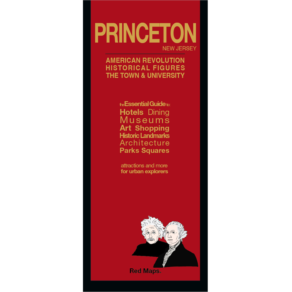

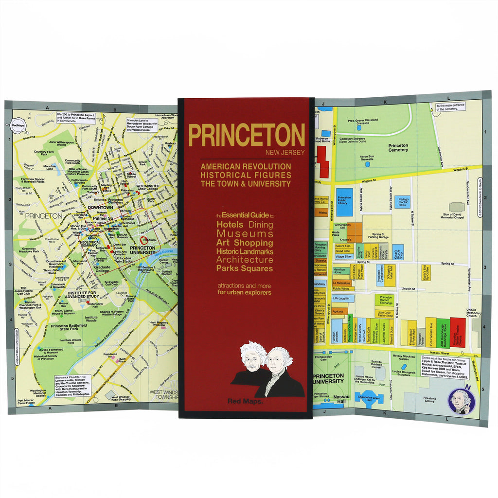

PRINCETON NJ Street Map with University & Attractions
Laminated Princeton, NJ Town & University Street Map
Discover the remarkable history of Princeton, New Jersey—where George Washington led troops to a pivotal victory at the Princeton Battlefield, and where Albert Einstein, J. Robert Oppenheimer, and John Nash lived, worked, and studied.
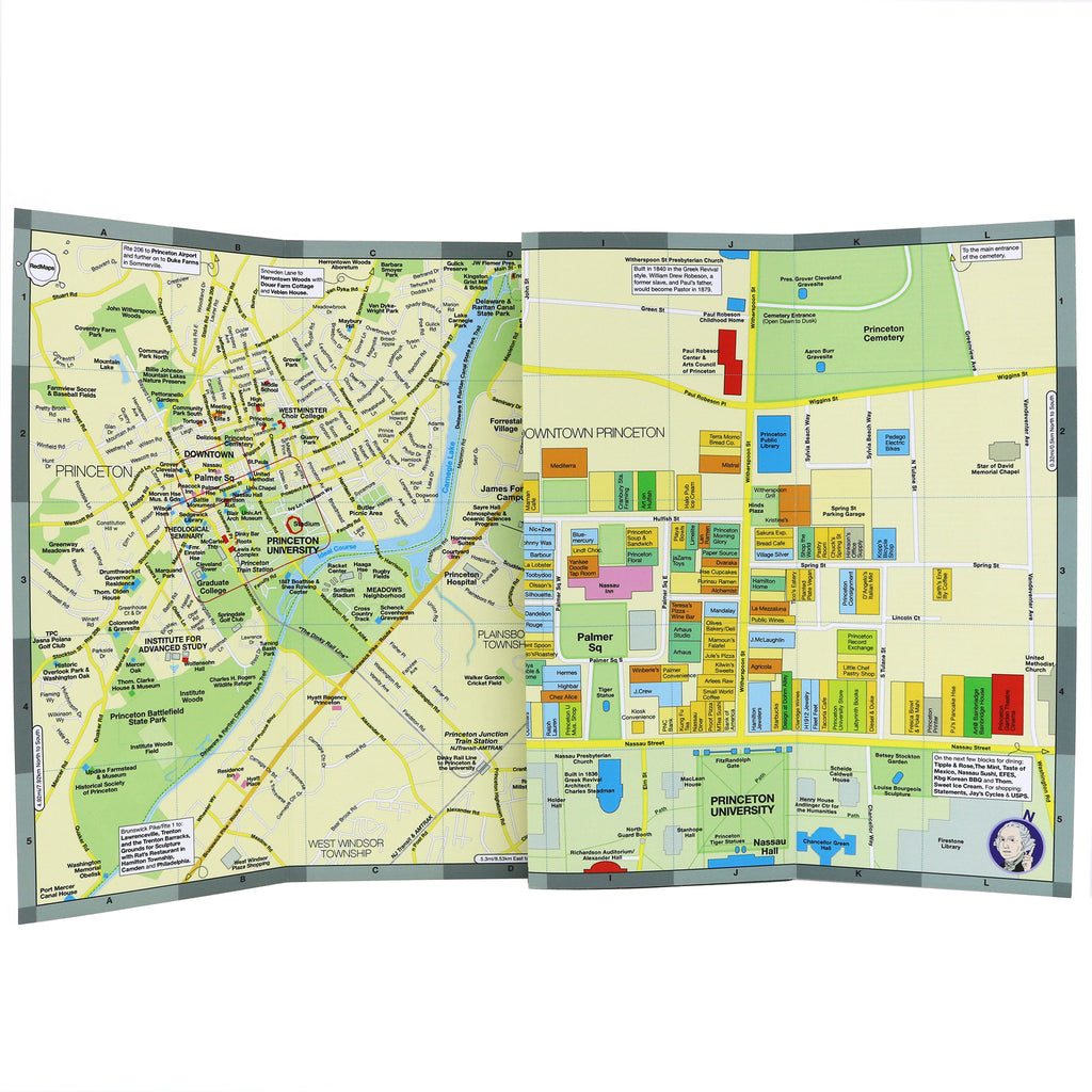
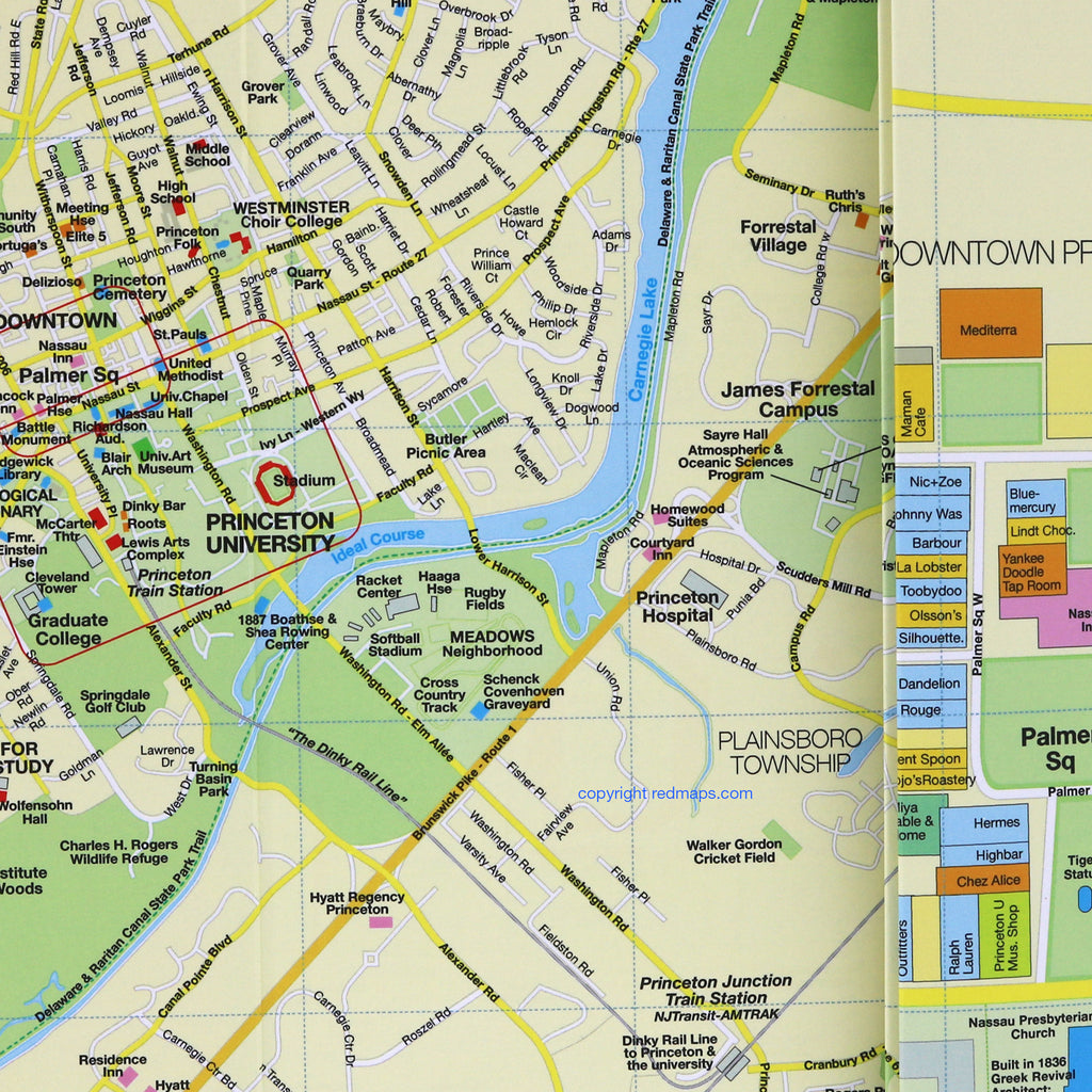
From charming downtown merchants and restaurants to the historic Collegiate Gothic architecture of Princeton University's campus, this laminated foldout street map provides you with a complete view of Princeton's legendary sights, iconic landmarks, historic monuments, museums, and surrounding scenic parks and trails.
FEATURED ON THE PRINCETON MAP
Historic landmarks and cultural sites.
Morven, Drumthwacket & Nassau Hall.
American Revolution monuments and battlefields.
Princeton University Art Museum and campus landmarks.
Centrally located hotels & accommodations.
Theaters, concert halls, and art galleries.
Downtown Princeton streets and squares.
Shops and local merchants.
Walking trails, parks, and scenic outdoor spaces.
James Forrestal Campus and nearby business centers.
NEIGHBORHOODS ON THE MAP
Downtown historic Princeton, Princeton University & campus, Forrestal Center, Forrestal Village, and the Route 1 Business Corridor.
TRAVELERS ALSO PAIR WITH
Princeton is frequently paired with our New York City guide—or if exploring the the greater northeast, the Nor'easter 6-Map Set for built-in set savings.
WHAT TRAVELERS SAY ABOUT USING RED MAPS
“I appreciate the care you take in your wrapping of the maps; the cards with the Pantheon for Rome and Ponte Vecchio for Florence are a lovely touch. Thank you.”
— Customer, British Columbia, CANADA
“I used your London and Paris Red Maps and found them very useful, so I ordered Vienna. I like these maps, I can actually read the street names and landmarks without having to squint!”
— Customer, Seattle, WA
AS SEEN IN & RECOMMENDED BY
Travel + Leisure, The New York Times, British Vogue, Harper's Bazaar, Condé Nast Traveller, ELLE, Wallpaper*, Town & Country, The Washington Post, The Wall Street Journal, Highsnobiety, and Madame Figaro — among over 100 purveyors of style, travel & design.
MAP DIMENSIONS & MATERIALS
Opens to 24 in. wide x 9.5 in. tall | 61 cm x 24 cm
Map folds to a compact 4 in. wide x 9.5 in. tall | 10 cm x 24 cm
Printed on premium cover-weight stock.
No-glare matte laminated finish, easy to read indoors and outdoors.