


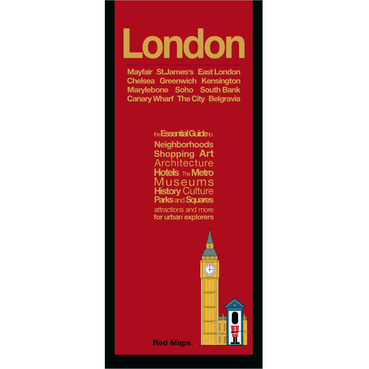


LONDON Travel Map & City Center Guide
Navigate the Vibrant Streets & Neighborhoods of London
Exploring London is an unforgettable experience, but relying entirely on a tiny phone screen can mean missing the grand scope of this historic city. This printed, pocket-sized map offers an elegant, birds-eye view of London's winding streets, ensuring you can navigate with confidence.
FEATURED ON THE LONDON MAP
Major historic landmarks & sights
Essential visitor info & guide facts
Top museum highlights & art galleries
Boutique hotels & central stays
Streets, historic squares & avenues
Designer boutiques & historic shops
Tube stations, subway lines & transit
Elegant parks, theatres & stadiums
NEIGHBORHOODS ON THE MAP
Bankside, Belgravia, Bloomsbury, Chelsea, Covent Garden, The City, Greenwich, Kensington, Knightsbridge, Marylebone, Mayfair, Notting Hill, Soho, South Bank, Westminster, among others.
TRAVELERS ALSO PAIR WITH
Planning a broader European trip? London is frequently paired with our Paris and Dublin guides—or explore the YOU'RE-A-STAR - London & Paris Map Set for built-in savings.
WHAT TRAVELERS SAY ABOUT USING RED MAPS
“I appreciate the care you take in your wrapping of the maps; the cards with the Pantheon for Rome and Ponte Vecchio for Florence are a lovely touch. Thank you.”
— Customer, British Columbia, CANADA
“I used your London and Paris Red Maps and found them very useful, so I ordered Vienna. I like these maps, I can actually read the street names and landmarks without having to squint!”
— Customer, Seattle, WA
AS SEEN IN & RECOMMENDED BY
Travel + Leisure, The New York Times, British Vogue, Harper's Bazaar, Condé Nast Traveller, ELLE, Wallpaper*, Town & Country, The Washington Post, The Wall Street Journal, Highsnobiety, and Madame Figaro — among over 100 purveyors of style, travel & design.
MAP DIMENSIONS & MATERIALS
Opens to 24 in. wide x 9.5 in. tall | 61 cm x 24 cm
Map folds to compact 4 in. wide x 9.5 in. tall | 10 cm x 24 cm
Printed on premium cover-weight stock.
No-glare matte laminated finish, easy to read indoors and outdoors.