


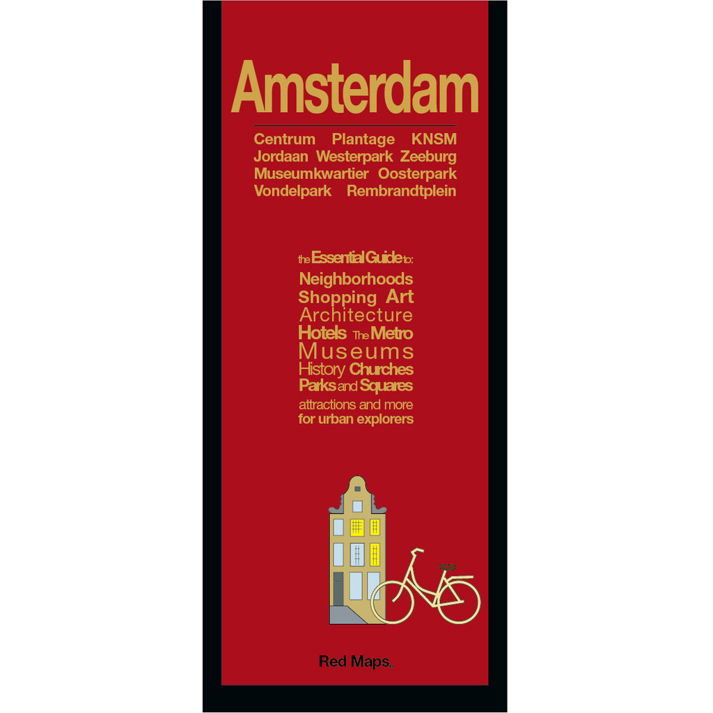

AMSTERDAM City Center Map
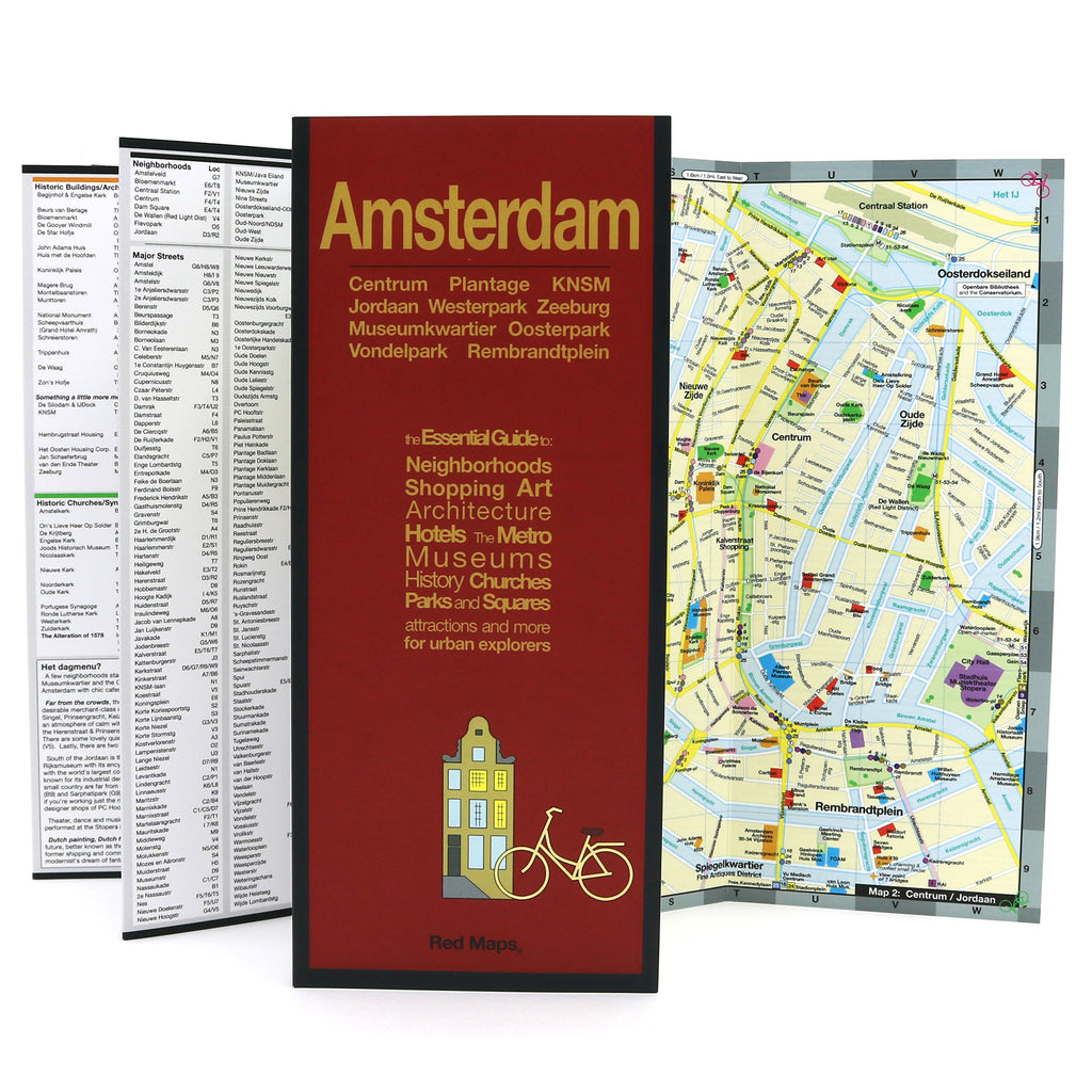
Foldout Travel Map of Amsterdam
Convenient pocket-sized map to central Amsterdam lets the visitor or seasoned-traveler discover all the Dutch city's fascinating history and places of interest. Our Amsterdam map shows you in one easy-to-read view all the popular attractions and notable landmarks of the city. You'll have the vacation of a lifetime!
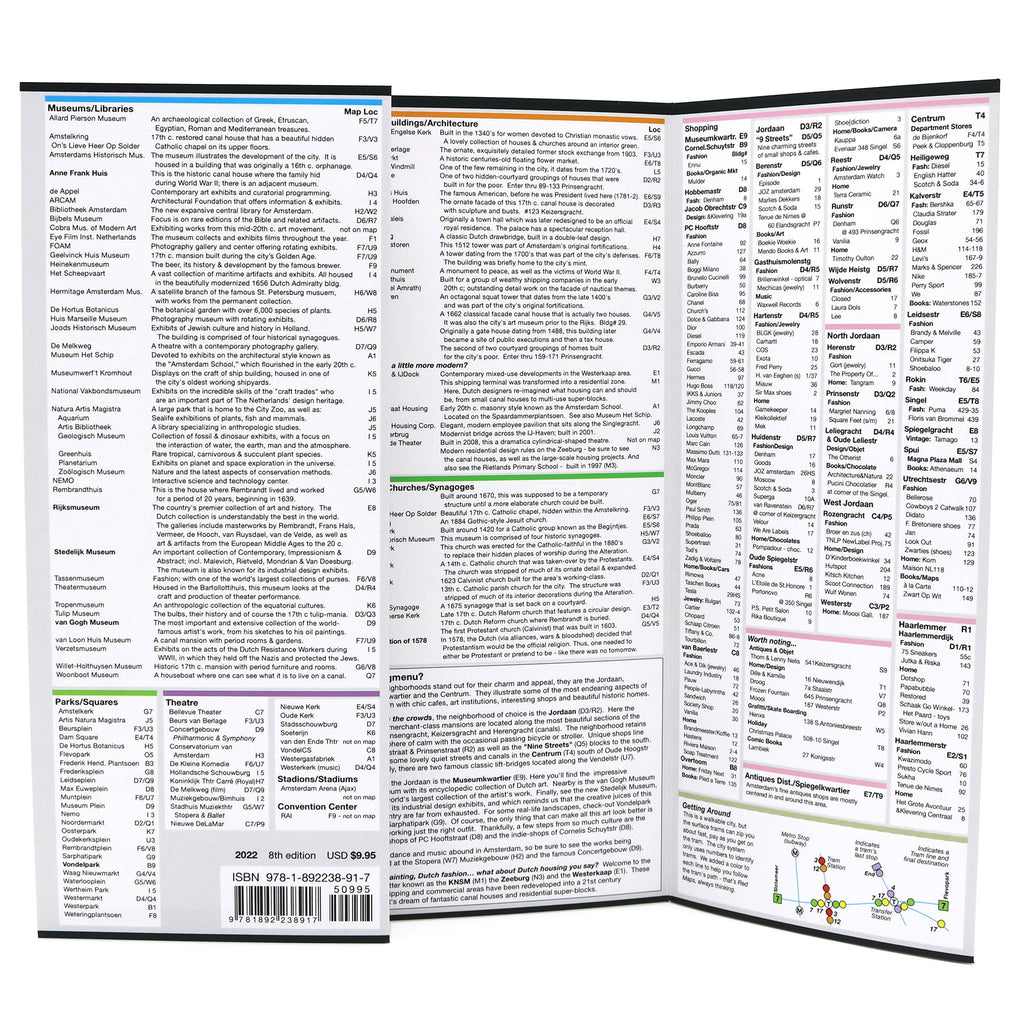
Information on the Map Includes:
Important historic landmarks.
Popular attractions & points of Interest.
Helpful brief history insights and descriptions.
Highlights of art museums' collections.
Centrally located boutique hotels.
Discover local Amsterdam shops and merchants.
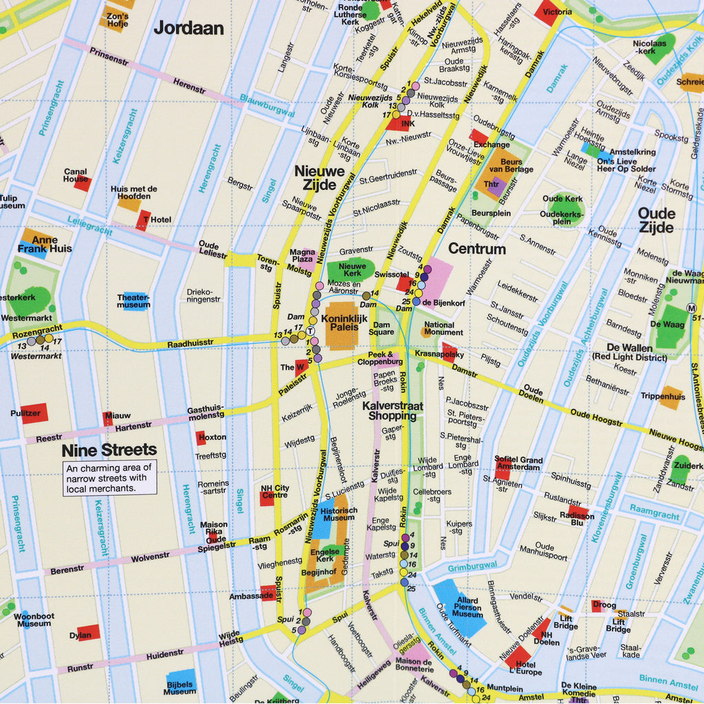
Streets & canals clearly labelled.
GVB Tram stations & routes shown on map.
Parks, Plantage Zoo, theatres and stadiums.
Zoom-in map of central Amsterdam.
Neighborhoods on the Red Map Amsterdam
Amsterdam map includes these popular neighborhoods: Centrum, Bloemenmarkt, Jordaan, KNSM, Museumkwartier, Nieuwe Zijde, Oosterpark, Oud-West, Oud-Zijde, Oud-Zuid, Plantage Zoo, Rembrandtplein, Vondelpark and Zeeburg.
Map Dimensions:
Opens to 24 in. wide x 9.5 in. tall; 61 cm x 19 cm.
Map folds to 4 in. wide x 9.5 in. tall; 24 cm x 19 cm.
No-glare matte, easy-to-read indoors and outdoors.
Travel Tips for Amsterdam
Our travel blog has great ideas to help you enjoy your Amsterdam vacation, here is an article about AMSTERDAM'S MUSIC AND CULTURAL SUMMER FESTIVALS