


CHICAGO Downtown & Neighborhood Street Map
The Essential Tourist Map of Chicago’s Major Attractions
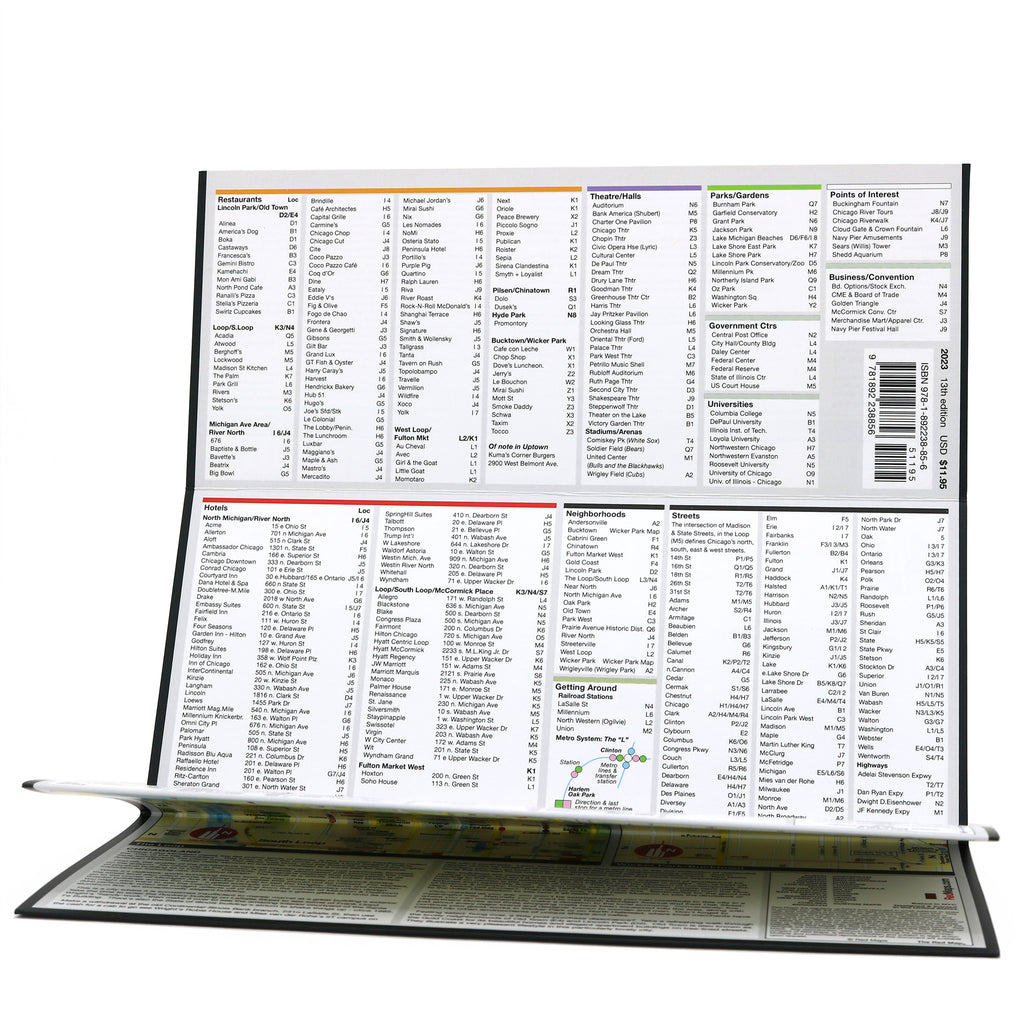
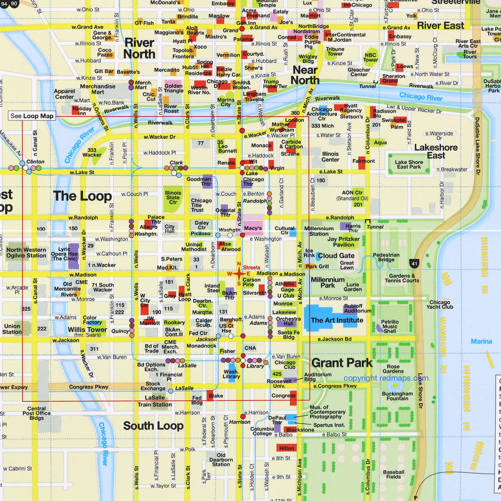
Discover Chicago's rich history, popular attractions, and hidden treasures is easy with Red Maps' pocket-sized folding street map. Explore downtown’s iconic architecture, world-class museums, historic theatres, lush parks, vibrant dining, and prime shopping—the perfect companion for your trip to the Windy City.
FEATURED ON THE CHICAGO MAP
Popular attractions and historic sights
Architectural landmarks and skyline icons
Art museum highlights and gallery locations
Restaurants and cafes
Local Chicago merchants
Luxury shopping on Michigan Ave and Oak St
L train transit stations and routes
Parks, plazas, and outdoor spaces
Centrally located hotels
Detailed inset maps of The Loop and Wicker Park
NEIGHBORHOODS ON THE MAP
Downtown, The Loop, West Loop, Fulton Market West, Gold Coast, Lincoln Park, Near North, North Michigan Ave, Old Town, Prairie Avenue Historic District, River North, and Wicker Park.
TRAVELERS ALSO PAIR WITH
Chicago is frequently paired with the Chicago Skyline Notepad—or if exploring top destinations across the country, the American Grand Tour 10-Map Set for built-in set savings.
WHAT TRAVELERS SAY ABOUT USING RED MAPS
“I appreciate the care you take in your wrapping of the maps; the cards with the Pantheon for Rome and Ponte Vecchio for Florence are a lovely touch. Thank you.”
— Customer, British Columbia, CANADA
“I used your London and Paris Red Maps and found them very useful, so I ordered Vienna. I like these maps, I can actually read the street names and landmarks without having to squint!”
— Customer, Seattle, WA
AS SEEN IN & RECOMMENDED BY
Travel + Leisure, The New York Times, British Vogue, Harper's Bazaar, Condé Nast Traveller, ELLE, Wallpaper*, Town & Country, The Washington Post, The Wall Street Journal, Highsnobiety, and Madame Figaro — among over 100 purveyors of style, travel & design.
MAP DIMENSIONS & MATERIALS
Opens to 24 in. wide x 9.5 in. tall | 61 cm x 24 cm
Map folds to compact 4 in. wide x 9.5 in. tall | 10 cm x 24 cm
Printed on premium cover-weight stock.
No-glare matte laminated finish, easy to read indoors and outdoors.