


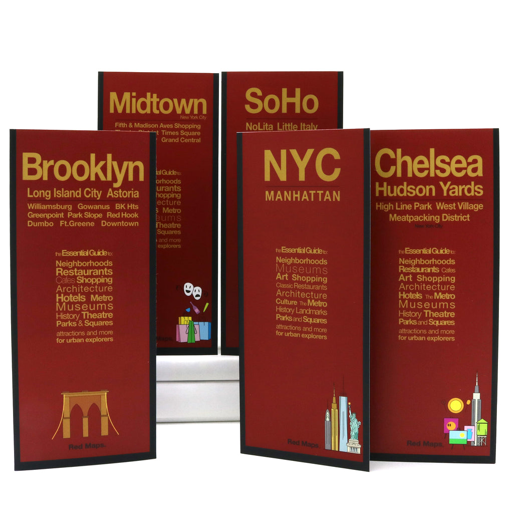


New Yorker 5-Map Set: NYC Neighborhood & Street Maps
The Essential Foldout Street Map Set of New York City
Discovering New York City's most interesting neighborhoods and charming streets is easy with Red Maps' essential 5-map set. Explore Manhattan, Brooklyn, Midtown, Chelsea, SoHo, and parts of Queens. Designed for travelers, design enthusiasts, and city explorers, each foldout map gives you the big-picture overview with crisp, unique block-by-block detail.
FEATURED ON THE NEW YORKER SET MAPS
Popular attractions and points of interest
Architectural landmarks, monuments, and historic sights
Art museum highlights and collection details
Iconic and classic restaurants, cafes, and bars
Local NYC merchants
Boutiques, luxury brands, and local shopping
Subway stations and transit lines
Parks, gardens, and urban spaces
Stadiums, historic theaters, and music arenas
Centrally located hotels
NEIGHBORHOODS ON THE MAPS
Hudson Yards, High Line, West Village, Tribeca, Williamsburg, Dumbo, Nolita, Little Italy, Financial District, Greenwich Village, Chinatown, Upper East Side, Upper West Side, Greenpoint, Park Slope, Long Island City, and Astoria Queens.
WHAT TRAVELERS SAY ABOUT USING RED MAPS
“I appreciate the care you take in your wrapping of the maps; the cards with the Pantheon for Rome and Ponte Vecchio for Florence are a lovely touch. Thank you.”
— Customer, British Columbia, CANADA
“I used your London and Paris Red Maps and found them very useful, so I ordered Vienna. I like these maps, I can actually read the street names and landmarks without having to squint!”
— Customer, Seattle, WA
AS SEEN IN & RECOMMENDED BY
Travel + Leisure, The New York Times, British Vogue, Harper's Bazaar, Condé Nast Traveller, ELLE, Wallpaper*, Town & Country, The Washington Post, The Wall Street Journal, Highsnobiety, and Madame Figaro — among over 100 purveyors of style, travel & design.
MAP DIMENSIONS & MATERIALS
Opens to 24 in. wide x 9.5 in. tall | 61 cm x 24 cm
Map folds to compact 4 in. wide x 9.5 in. tall | 10 cm x 24 cm
Printed on premium cover-weight stock.
No-glare matte laminated finish, easy to read indoors and outdoors.