


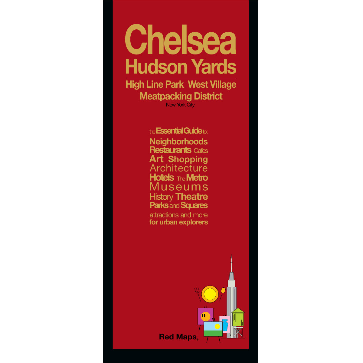


HIGH LINE, CHELSEA & HUDSON YARDS NYC Map
Discover and see all the popular attractions of New York's Chelsea, High Line, West Village, Meatpacking District and Hudson Yards neighborhoods with the Red Map. Explore the Whitney Museum of Art, have lunch in the cool Meatpacking District, and walk the romantic cobble-stoned streets of the West Village. You'll have the time of your life!
Information on the Map:
Popular attractions & points of interest.
Museums and contemporary art galleries.
Famous landmarks and monuments.
Architectural landmarks.
Parks and gardens
Famous NYC restaurants. Neighborhood food halls and markets.
NYC Subway stations.
Neighborhoods on the Map
Chelsea, Hudson Years, High Line, West Village, Meatpacking District and Greenwich Village.
Map Dimensions:
Opens to 24 in. wide x 9.5 in. tall; 61 cm x 19 cm.
Map folds to 4 in. wide x 9.5 in. tall; 24 cm x 19 cm.
No-glare matte laminated finish makes the map easy-to-read indoors and outdoors.