


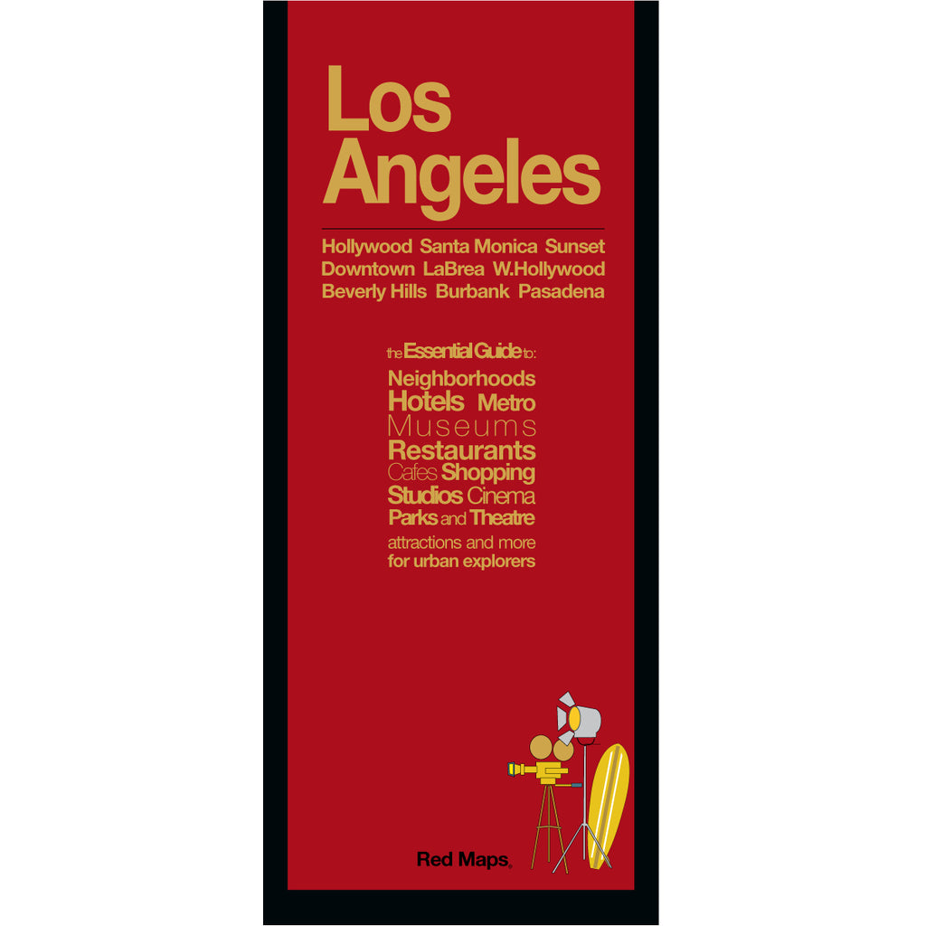


LOS ANGELES Street Map: Hollywood, Attractions & Neighborhoods
The Essential Pocket Street Map for Los Angeles
Immerse yourself in the vibrant energy of Los Angeles with a map that shows you in one single, clear view that connects the city’s most iconic hubs. Easily navigate from historic Downtown LA relates to West Hollywood, Beverly Hills, and Pasadena, or trace your route out to the treasures of seaside Santa Monica and Venice Beach.
From movie studios and world-class museums to architectural gems and hidden neighborhood cafes, explore Southern California's capital of culture with ease.
FEATURED ON THE LOS ANGELES MAP
Detailed zoom-in street map of Downtown LA.
Iconic Hollywood landmarks.
Major movie studios & backlots.
World-class art & history museums.
Beverly Hills & Rodeo Drive shopping.
Indie boutiques & local dining.
Architectural sites & historic theaters.
Centrally located hotels.
Parks, gardens & outdoor spaces.
LA Metro lines & stations shown on map.
NEIGHBORHOODS ON THE MAP
DTLA, Hollywood, West Hollywood, Beverly Hills, Santa Monica, Westwood, UCLA & USC, Pasadena, Studio City, Burbank, Mid-Wilshire, Larchmont Village, Century City, Venice Beach and Culver City.
TRAVELERS ALSO PAIR WITH
Los Angeles is frequently paired with the Los Angeles Skyline Notepad—or if exploring the west coast, the California Dreaming 2-Map Set with San Francisco, for built-in set savings.
WHAT TRAVELERS SAY ABOUT USING RED MAPS
“I appreciate the care you take in your wrapping of the maps; the cards with the Pantheon for Rome and Ponte Vecchio for Florence are a lovely touch. Thank you.”
— Customer, British Columbia, CANADA
“I used your London and Paris Red Maps and found them very useful, so I ordered Vienna. I like these maps, I can actually read the street names and landmarks without having to squint!”
— Customer, Seattle, WA
AS SEEN IN & RECOMMENDED BY
Travel + Leisure, The New York Times, British Vogue, Harper's Bazaar, Condé Nast Traveller, ELLE, Wallpaper*, Town & Country, The Washington Post, The Wall Street Journal, Highsnobiety, and Madame Figaro — among over 100 purveyors of style, travel & design.
MAP DIMENSIONS & MATERIALS
Opens to 24 in. wide x 9.5 in. tall | 61 cm x 24 cm
Map folds to a compact 4 in. wide x 9.5 in. tall | 10 cm x 24 cm
Printed on premium cover-weight stock.
No-glare matte laminated finish, easy to read indoors and outdoors.