


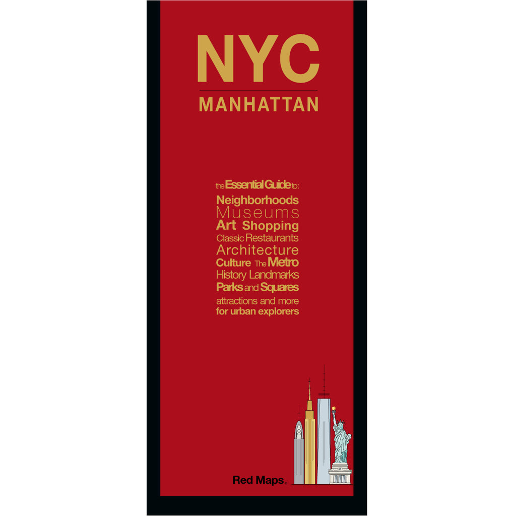


NYC Manhattan Street Map: Landmarks, Attractions & Shops
The Definitive Foldout Street Map of Manhattan
From the Empire State Building and Rockefeller Center to Central Park and beyond, Manhattan packs more landmarks, iconic attractions, and restaurants onto one island than almost anywhere on earth. The Red Map NYC puts it all at your fingertips with its colorfully illustrated, easy-to-read foldout format. Designed for curious travelers who want to move through the city with the big picture in-hand:
FEATURED ON THE MANHATTAN MAP
Landmarks, attractions and points of interest.
Museums with collection highlights.
List of NYC's tallest skyscrapers.
60+ architectural and historic landmarks.
Parks and green spaces.
40+ legendary restaurants and historic steakhouses.
Famous establishments for pizza, bagels, burgers, delis and desserts.
Shopping Districts — from SoHo to Fifth Avenue.
Stadiums, arenas and concert halls.
Broadway and off-Broadway theaters.
Art galleries and cultural institutions.
NYC Subway stations.
FEATURED NEIGHBORHOODS ON THE MAP
Washington Heights, Harlem, and 125th Street
The Upper East Side, Upper West Side, Central Park, and Roosevelt Island
Midtown, Fifth Avenue, Times Square, Broadway, and Hudson Yards
The High Line, Chelsea, Hell's Kitchen, Murray Hill, and Gramercy Park
Greenwich Village, East Village, NoHo, SoHo, Nolita, and Little Italy
Tribeca, Chinatown, Lower East Side, the Financial District, and Wall Street
AS SEEN IN AND RECOMMENDED BY
Travel + Leisure, The New York Times, British Vogue, Harper's Bazaar, Condé Nast Traveller, ELLE, Wallpaper*, Town & Country, The Washington Post, The Wall Street Journal, Highsnobiety, and Madame Figaro — among over 100 purveyors of style, travel & design.
MAP DIMENSIONS & MATERIALS
Opens to 24 in. wide x 9.5 in. tall | 61 cm x 19 cm.
Folds to compact 4 in. wide x 9.5 in. tall | 10 cm x 24 cm.
No-glare matte laminated finish — easy to read indoors and outdoors.
Also available in the collection: Midtown Theatre District, SoHo & Nolita, High Line & Chelsea, and Brooklyn — or explore them all together in the complete New Yorker 5-Map Set.