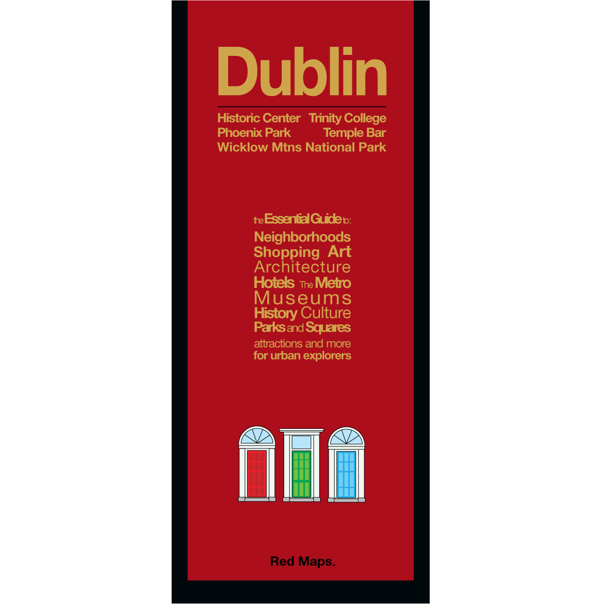
DUBLIN City Center Map
Foldout Travel Map of Dublin
Laminated pocket-sized map of central Dublin shows you in one easy-to-read colorful map everything you'll want to see the Irish city.
Information on the Map Includes:
Important historical landmarks.
Useful facts about Dublin's attractions.
Museum collection highlights.
Central Dublin boutique hotels.
Streets & squares clearly identified.
Charming local Dublin merchants.
Parks, theatres and stadiums.
Neighborhoods on this Map
Map shows these Dublin neighborhoods: Temple Bar, Grafton Street Side, Trinity College, Northside, Merrion Square, North Wall, Mount Brown, Arbour Hill, Phoenix Park, plus a Zoom-in map of nearby Wicklow Mountains National Park.
Map Dimensions
Opens to 24 in. wide x 9.5 in. tall; 61 cm x 19 cm
Map folds to 4 in. wide x 9.5 in. tall; 24 cm x 19 cm
No-glare matte finish, easy-to-read map indoors and outdoors.
Travel Tips for Dublin
Our travel blog has great ideas to help you enjoy your Dublin vacation, here is one article about WHAT TO SEE AND DO IN DUBLIN.
Customer Reviews
The Story of Red Maps City Guides
What is a Red Map?
Red Maps are travel maps to cities in the United States and Europe. Each Red Map provides a traveler with a comprehensive guide a city’s cultural attractions and places of interest. Red Maps have clear-graphics and easy-to-read, concisely-organized information. Red Maps are known as a very stylish guide to have, and have been recommended in over 100 magazines and newspapers.What Information is on a Red Map?
Why are Red Maps the Best Map?
The Story of how Red Maps Began
The story of Red Maps began when I was working at a job in real estate...One lucky day, while drawing a map to show a client the locations of shops along Miami Beach’s Lincoln Road, a colleague passed my desk, saw my drawing, and casually mentioned that I had a talent for cartography. She suggested that I make maps professionally.
Giving it some thought, I proceeded to try just that. Each day after work I would teach myself computer-graphics by reading one chapter from an Adobe Illustrator manual. It took over one year’s time to produce the first Red Maps for sale in May of 1998.
Jim Leniart
Owner/Creative Director