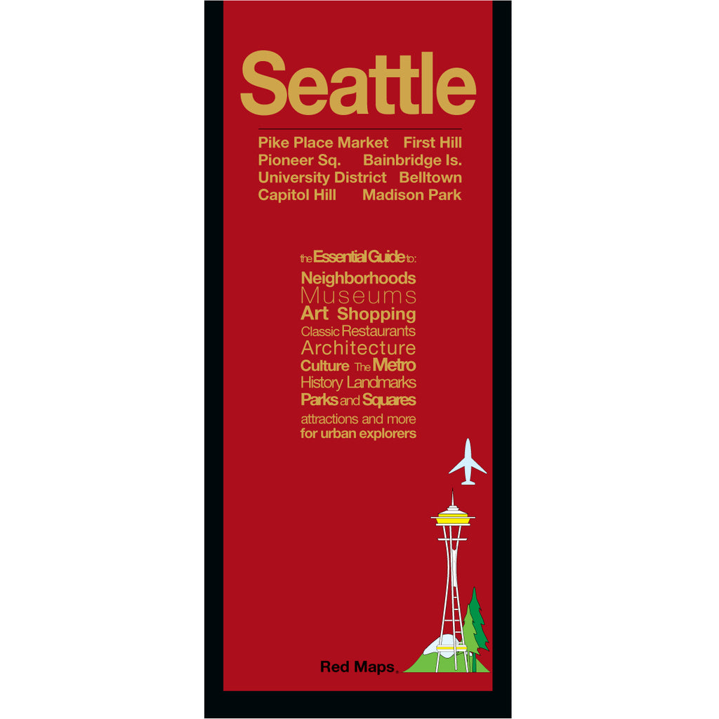
SEATTLE City Center Map
Foldout Travel Map for Seattle
Discovering Seattle most popular attractions is breeze with a Red Map. From the waterfront and Pike Place Market to serene Washington Park, from dining on Capitol Hill to the top of the Space Needle you won't miss a thing, and you'll have the memories of lifetime!
Information on the Map:
Popular attractions and points of interest.
Historic landmarks.
Brief historical insights and descriptions.
Restaurants and cafes.
Museums' collection highlights.
Local and luxury shopping.
Centrally located hotels.
Stadiums, arenas, theaters.
Outdoor spaces and parks.
Seattle Metro stations and routes.
Map Dimensions:
Opens to 24 in. wide x 9.5 in. tall; 61 cm x 19 cm.
Map folds to 4 in. wide x 9.5 in. tall; 24 cm x 19 cm.
No-glare matte laminated finish makes the map easy-to-read indoors and outdoors.
Travel Tips and Ideas for Seattle
ROAD TRIP PART II: MT. ST. HELENS and DOWNTOWN SEATTLE
Additional Seattle-Themed Products
SEATTLE LANDMARKS THEMED NOTECARDS
The Story of Red Maps City Guides
What is a Red Map?
Red Maps are travel maps to cities in the United States and Europe. Each Red Map provides a traveler with a comprehensive guide a city’s cultural attractions and places of interest. Red Maps have clear-graphics and easy-to-read, concisely-organized information. Red Maps are known as a very stylish guide to have, and have been recommended in over 100 magazines and newspapers.What Information is on a Red Map?
Why are Red Maps the Best Map?
The Story of how Red Maps Began
The story of Red Maps began when I was working at a job in real estate...One lucky day, while drawing a map to show a client the locations of shops along Miami Beach’s Lincoln Road, a colleague passed my desk, saw my drawing, and casually mentioned that I had a talent for cartography. She suggested that I make maps professionally.
Giving it some thought, I proceeded to try just that. Each day after work I would teach myself computer-graphics by reading one chapter from an Adobe Illustrator manual. It took over one year’s time to produce the first Red Maps for sale in May of 1998.
Jim Leniart
Owner/Creative Director