


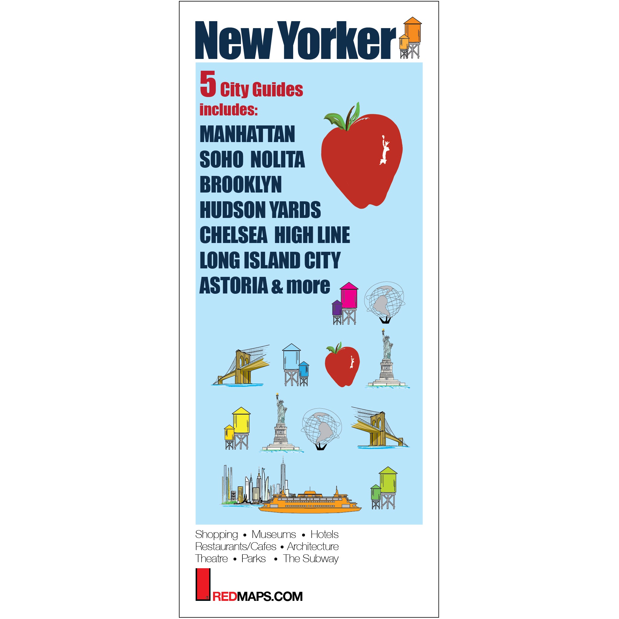

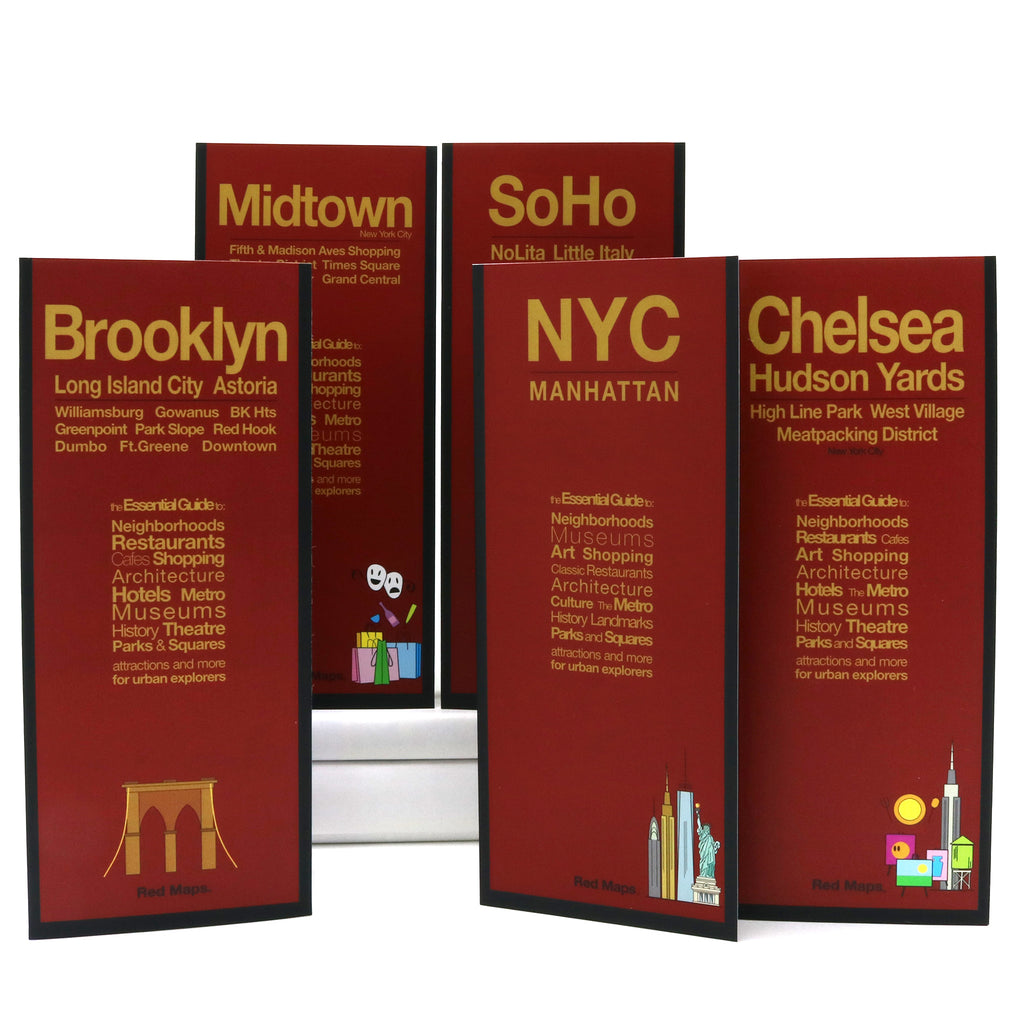
NEW YORKER: 5 Maps Set
Travel Maps to Manhattan, Midtown, Chelsea, SoHo & Brooklyn
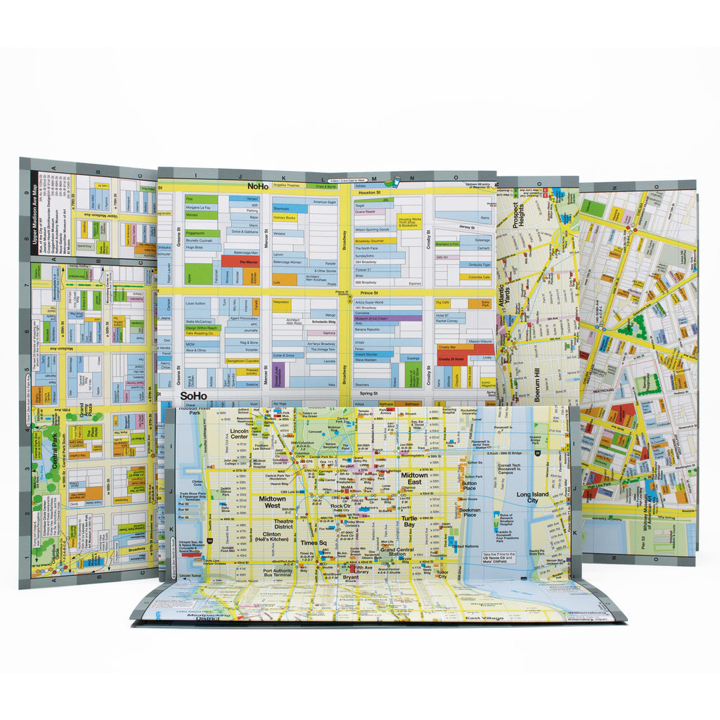
Experience the city like a true New Yorker with this ultimate set of neighborhood maps. Packed with popular attractions, museum highlights, classic NYC restaurants, theatre and of course, shopping - the Red Maps of New York are a must for every traveler to the Big Apple. The maps incredible block-by-block and building-by-building detail mean you won't miss a thing!
Information on the Maps:
Popular attractions & points of interest.
Museums with collection highlights.
Landmarks & monuments.
Brief historical insights & descriptions.
Classic restaurants and cafes.
Over 1000 luxury and local shops.
Centrally located hotels.
Stadiums, theaters & arenas.
Parks, gardens & zoos.
Subway stations and routes.
Neighborhoods on the Maps:
Manhattan, Midtown, Hudson Yards, Financial District, High Line, Chelsea, Brooklyn, Williamsburg, Dumbo, SoHo, Nolita, Little Italy, Chinatown, Upper East Side, Upper West Side, Greenpoint, Park Slope, Long Island City, Astoria, and many, many more.
Map Dimensions:
Opens to 24 in. wide x 9.5 in. tall; 61 cm x 19 cm.
Map folds to 4 in. wide x 9.5 in. tall; 24 cm x 19 cm.
No-glare finish makes Red Maps easy-to-read indoors and outdoors.