Red Maps
Museums with descriptions of their art collections.
Centrally located hotels with contact information.
Addresses of independent shops and designer boutiques.
Interesting historic landmarks with descriptions.
Parks, gardens and open green spaces to explore.
Noteworthy cafes and restaurants.
Red Maps’ provide the traveler with concisely-organized information on a colorful, clearly-illustrated map.
The graphics of a Red Map enables the traveler to see everything a city has to offer in one drawing.
Red Maps are printed on a durable paper with a matte-laminated finish, that makes it easy to read both indoors or in direct sunlight.
Each new edition of a Red Map incorporates fresh graphics and new ideas.
Red Maps is dedicated to producing maps of the highest design and quality.
One lucky day, while drawing a map to show a client the locations of shops along Miami Beach’s Lincoln Road, a colleague passed my desk, saw my drawing, and casually mentioned that I had a talent for cartography. She suggested that I make maps professionally.
Giving it some thought, I proceeded to try just that. Each day after work I would teach myself computer-graphics by reading one chapter from an Adobe Illustrator manual. It took over one year’s time to produce the first Red Maps for sale in May of 1998.
Jim Leniart
Owner/Creative Director
Red Maps is a small, independently-owned company based in New York City.
All Red Map products are produced in the New York metropolitan area by a dedicated and talented group of individuals.
Red Maps are 100% Made in the USA.
Red Maps does not accept advertising.
Places of interest are included on Red Maps because they are noteworthy.
Our philosophy makes it easy to be true to what we do by staying objective.
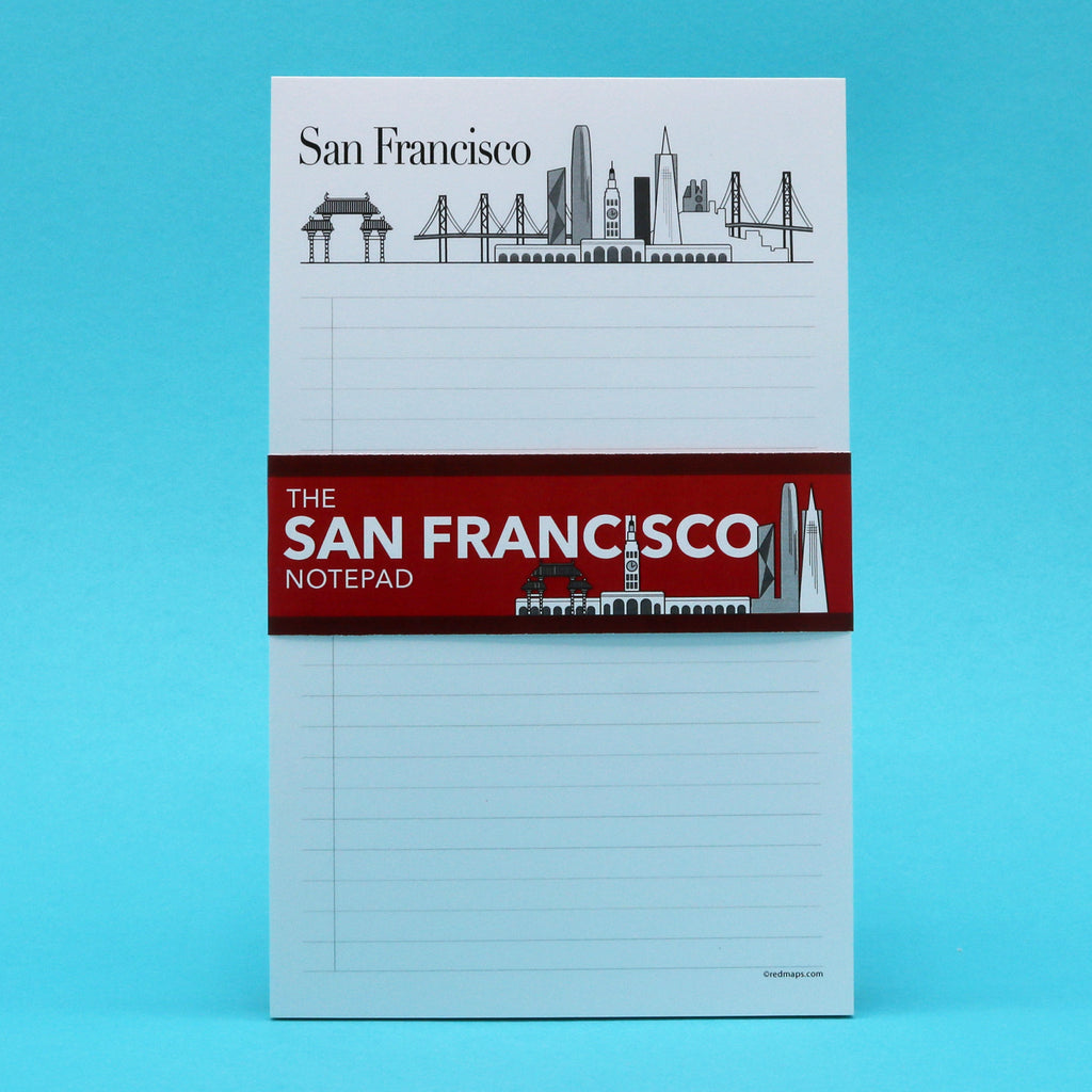
SAN FRANCISCO Skyline Landmarks Notepad
Regular price
$ 11.95
Shipping calculated at checkout.
The Notepad for People Who Love San Francisco
Keep your favorite San Francisco memories close when you write on this illustrated notepad with the city's most famous historic and modern landmarks.
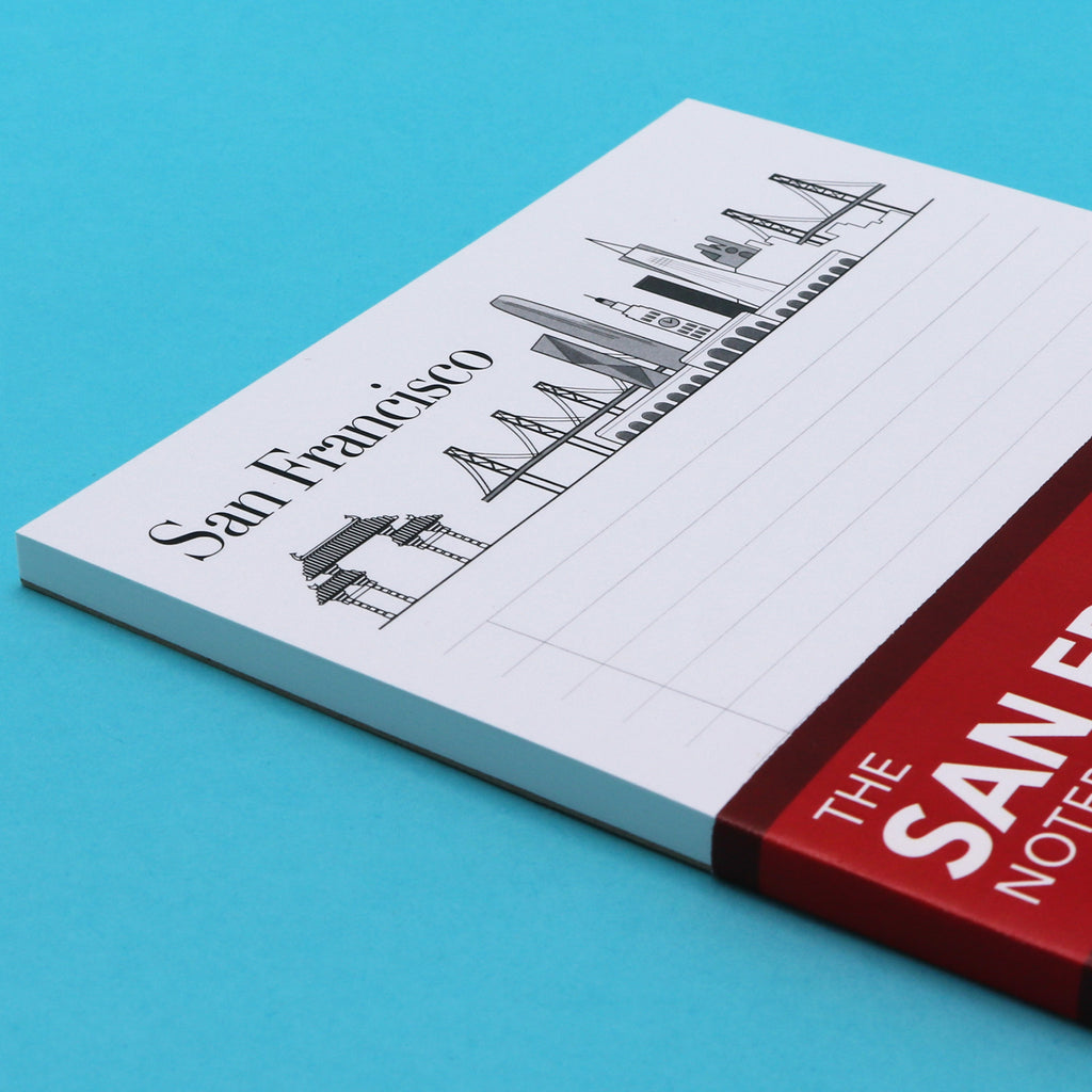
Landmarks Illustrated on the Pad
SF Chinatown Gate, Golden Gate Bridge, the Ferry Building, Transamerica Building, the Salesforce Tower and the Oakland Bay Bridge.
Product Details
Dimensions: 5 in. wide by 8 in. tall
2.7 cm wide by 20.3 cm tall.
40 pages of bright white 70lb text wt. paper.
Pad comes wrapped in protection clear sleeve.
The Story of Red Maps City Guides
What is a Red Map?
Red Maps are travel maps to cities in the United States and Europe. Each Red Map provides a traveler with a comprehensive guide a city’s cultural attractions and places of interest. Red Maps have clear-graphics and easy-to-read, concisely-organized information. Red Maps are known as a very stylish guide to have, and have been recommended in over 100 magazines and newspapers.What Information is on a Red Map?
Why are Red Maps the Best Map?
The Story of how Red Maps Began
The story of Red Maps began when I was working at a job in real estate...One lucky day, while drawing a map to show a client the locations of shops along Miami Beach’s Lincoln Road, a colleague passed my desk, saw my drawing, and casually mentioned that I had a talent for cartography. She suggested that I make maps professionally.
Giving it some thought, I proceeded to try just that. Each day after work I would teach myself computer-graphics by reading one chapter from an Adobe Illustrator manual. It took over one year’s time to produce the first Red Maps for sale in May of 1998.
Jim Leniart
Owner/Creative Director