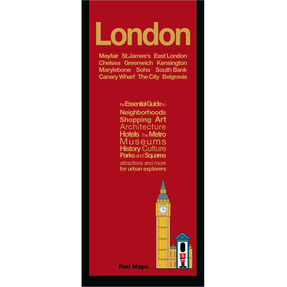
London city map with red colored cover.
Foldout map of central London that shows historic landmarks, museums, parks, and nearby Tube stations.
Map of central London that shows museums, theatre, London Parks, shopping, hotels and nearby Tube Stations.
Foldout map of London that has detailed lists and information about museums, shopping, hotels, and popular London attractions.
Foldout map of London showing landmarks, hotels, and Underground Tube Stations near Buckingham Palace.
Map of London showing historic places of interest near St.James’s Park and Piccadilly Circus.
Red Maps

LONDON City Center Map

Regular price $ 11.95 $ 0.00 Unit price per
Shipping calculated at checkout.
Exploring London is easy and fun with the Red Map. This London map is comprehensive, compact, and easy-to-read, which makes planning your vacation a Breeze!

Red Maps have concisely-organized lists of museums, interesting shops, centrally located hotels, important landmarks plus useful descriptions and helpful tips.

London Map Highlights

  • London Tube stations and routes are shown directly on this map.
  • Helpful bright colors quickly organize information for you.
  • Brief descriptions of museum collections get you to the masterpieces fast!
  • Unique matte-finish makes Red Maps easy-to-read both indoors and in sunlight.
  • Memory-accordion folds allows map to quickly open and fold.
  • Strong paper and laminate-finish means this map will last the trip!
  • Red Maps has 22 YEARS of travel experience you can trust.
  • Over 500,000 maps sold.
  • Made in the USA.
  • London Map Dimensions:
    • Folded Map: 4-in. x 9.5-in. or 24-cm x 19-cm
    • Opened Map: 24-in. x 9.5-in. or 61-cm x 19-cm

image of St. Pancras Train Station and surrounding London attractionsImage of London buildings including the British Musuem

IN LONDON YOU MUST SEE:

Important Attractions in London to see include Kensington Palace, Big Ben, Westminster Abbey, Buckingham Palace, St James's Park, Tower of London, Covent Garden Opera House, the Imperial War Museum, the Tate and Tate Modern, the V&A and the British Museum. Where to shop in London is entertaining, so the Red Maps provides you with over 300 designer boutiques and shops on Bond, Sloan, Jermyn Streets and Savile Row.

FIND OUT MORE:

COOL HOTELS AND GREAT RESTAURANTS IN LONDON

TWO DAYS IN LONDON - WHAT TO SEE

SHOP LIKE A ROYAL - LONDON STORES WITH THE ROYAL WARRANT

LONDON’S CHARMING MARYLEBONE NEIGHBORHOOD - with FREE DOWNLOADABLE MAP


Customer Reviews

Based on 2 reviews Write a review

The Story of Red Maps City Guides


What is a Red Map?

Red Maps are travel maps to cities in the United States and Europe. Each Red Map provides a traveler with a comprehensive guide a city’s cultural attractions and places of interest. Red Maps have clear-graphics and easy-to-read, concisely-organized information. Red Maps are known as a very stylish guide to have, and have been recommended in over 100 magazines and newspapers.

What Information is on a Red Map?

  • Museums with descriptions of their art collections.
  • Centrally located hotels with contact information.
  • Addresses of independent shops and designer boutiques.
  • Interesting historic landmarks with descriptions.
  • Parks, gardens and open green spaces to explore.
  • Noteworthy cafes and restaurants.


  • Why are Red Maps the Best Map?

    Red Maps’ provide the traveler with concisely-organized information on a colorful, clearly-illustrated map.
    The graphics of a Red Map enables the traveler to see everything a city has to offer in one drawing.
    Red Maps are printed on a durable paper with a matte-laminated finish, that makes it easy to read both indoors or in direct sunlight.
    Each new edition of a Red Map incorporates fresh graphics and new ideas.
    Red Maps is dedicated to producing maps of the highest design and quality.

    The Story of how Red Maps Began

    The story of Red Maps began when I was working at a job in real estate...

    One lucky day, while drawing a map to show a client the locations of shops along Miami Beach’s Lincoln Road, a colleague passed my desk, saw my drawing, and casually mentioned that I had a talent for cartography. She suggested that I make maps professionally.

    Giving it some thought, I proceeded to try just that. Each day after work I would teach myself computer-graphics by reading one chapter from an Adobe Illustrator manual. It took over one year’s time to produce the first Red Maps for sale in May of 1998.

    Jim Leniart
    Owner/Creative Director

    Why are Red Maps called Red Maps?

    The name Red Maps came from the simple idea that if a customer didn't know our name, they could ask a store clerk for “the map with the red cover.

    Where is the Red Maps company located?

  • Red Maps is a small, independently-owned company based in New York City.
  • All Red Map products are produced in the New York metropolitan area by a dedicated and talented group of individuals.
  • Red Maps are 100% Made in the USA.

  • What is Red Maps’ Philosophy?

  • Red Maps does not accept advertising.
  • Places of interest are included on Red Maps because they are noteworthy.
  • Our philosophy makes it easy to be true to what we do by staying objective.

  • Red Maps donates product to Charities.

    Red Maps is pleased to donate product to charitable organizations including AidforAIDS, ACRIA and the New York Botanical Garden.

    Share this Product