


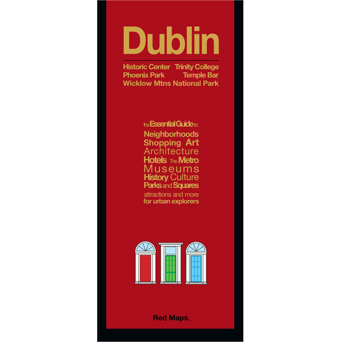


DUBLIN City Centre Travel Map
Foldout Dublin Street Map with Popular Attractions & Historic Neighborhoods
Navigate and discover the charms and magic of Dublin's City Centre with the pocket-size laminated Red Map Dublin. Quickly locate historic sights, top museums, local shopping, and central hotels—so you can easily plan your itinerary and make the most of your time in the Irish Capital.
FEATURED ON THE DUBLIN MAP
Major Landmarks including Dublin Castle, Ha'penny Bridge, Kilmainham Gaol & Trinity College.
Helpful descriptions of local Irish history & James Joyce landmarks.
Collection highlights for top Dublin museums & galleries.
Centrally located hotels.
Local Dublin shopkeepers & shopping districts.
Guinness Storehouse & Old Jameseson Distillery, parks, theatres & stadiums.
Nearby castles, manor houses and country estates.
Wicklow Mountains National Park & natural attractions.
Featured Neighborhoods on the Map
Temple Bar, Grafton Street Side, Trinity College, Northside, Merrion Square, North Wall, Mount Brown, Arbour Hill and Phoenix Park. Plus a special map of the Wicklow Mountains National Park with locations of country manors and estates to visit.
AS SEEN IN AND RECOMMENDED BY
Travel + Leisure, The New York Times, British Vogue, Harper's Bazaar, Condé Nast Traveller, ELLE, Wallpaper*, Town & Country, The Washington Post, The Wall Street Journal, Highsnobiety, and Madame Figaro — among over 100 purveyors of style, travel & design.
MAP DIMENSIONS & MATERIALS
Opens to 24 in. wide x 9.5 in. tall | 61 cm x 24 cm
Map folds to compact 4 in. wide x 9.5 in. tall | 10 cm x 24 cm
Printed on premium cover-weight stock.
No-glare matte laminated finish, easy to read indoors and outdoors.