


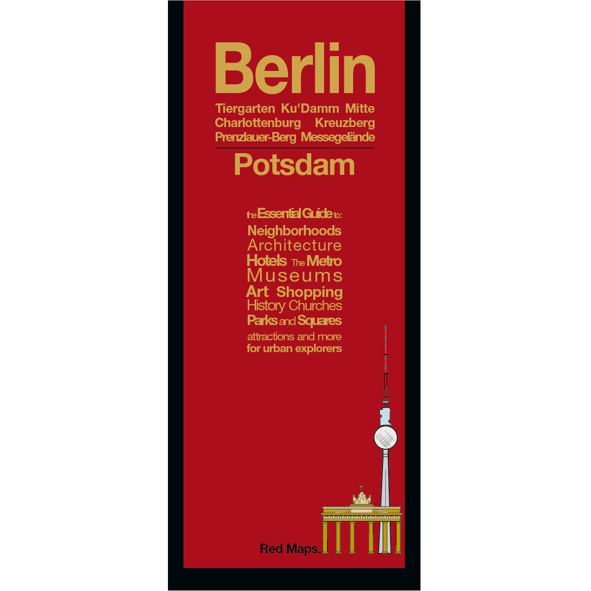


BERLIN City Center Street & Attractions Map
Laminated City Map & Travel Guide for Central Berlin
This pocket-sized, laminated map of central Berlin makes navigating Germany’s historic capital easy and effortless. Designed for quick reference on the go, it highlights top architectural landmarks, major museums, vibrant shopping streets, and iconic neighborhoods in one clear, colorful illustration.
FEATURED ON THE BERLIN MAP
Historical landmarks & architectural monuments.
Museum Island with collection highlights.
Berlin Wall, Holocaust Mahnmal, Brandenburg Gate.
Schloss Charlottenburg palace and gardens.
Centrally located hotels.
Local merchants and artisan shops.
Plazas, outdoor spaces and scenic squares.
U-Bahn, S-Bahn, and tram stations & routes.
Tiergarten, Berlin Zoo, theaters & concert halls.
Bonus detailed inset map of historic Potsdam, Germany.
NEIGHBORHOODS & AREAS ON THE MAP
Museumsinsel, Mitte, Prenzlauer Berg, Kreuzberg, Ku'damm, Charlottenburg, Tiergarten, Kulturforum, Potsdamer Platz, Schöneberg, and the Regierungsviertel.
AS SEEN IN AND RECOMMENDED BY
Travel + Leisure, The New York Times, British Vogue, Harper's Bazaar, Condé Nast Traveller, ELLE, Wallpaper*, Town & Country, The Washington Post, The Wall Street Journal, Highsnobiety, and Madame Figaro — among over 100 purveyors of style, travel & design.
MAP DIMENSIONS & MATERIALS
Opens to 24 in. wide x 9.5 in. tall | 61 cm x 24 cm
Map folds to a compact 4 in. wide x 9.5 in. tall | 10 cm x 24 cm
Printed on premium cover-weight stock.
No-glare matte laminated finish, easy to read indoors and outdoors.