




AMSTERDAM City Center Map
Central Amsterdam Street & Canal Map
Explore Amsterdam's historic canals, cultural landmarks, and vibrant neighborhoods with this detailed street map. Designed for easy navigation across the canal ring and central districts, this lightweight, laminated foldout guide helps you discover top sights, dining, and scenic walks. Matte-laminated & durable, it opens quickly and folds compactly for effortless everyday travel.
FEATURED ON THE AMSTERDAM MAP
Historic landmarks and canal houses.
World-class museums and cultural institutions.
Boutique hotels and historic canal stays.
Streets, bridges, and waterways clearly identified.
Local markets, artisan shops, & Dutch design boutiques.
Parks, gardens, and public squares.
Greater Amsterdam regional map with surrounding towns & countryside.
NEIGHBORHOODS ON THE MAP
HISTORIC & CULTURAL AREAS
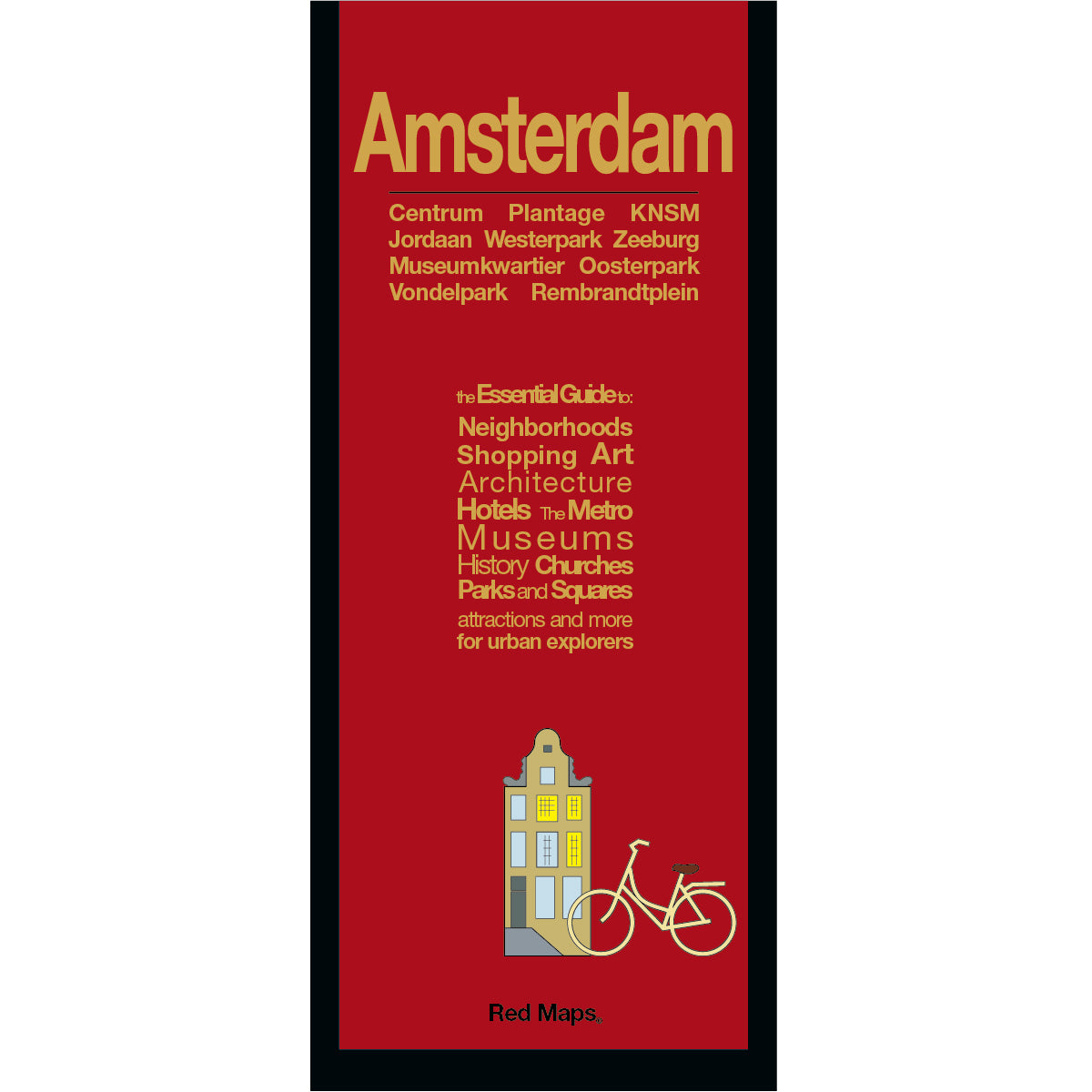
Centrum, Centraal Station Area, Jordaan, De Negen Straatjes (Nine Streets), Museumkwartier, Oude Zijde, and Nieuwe Zijde, Oud-West, Haarlemmerstraat, and Westerpark.
SURROUNDING PARKS & SCENIC SQUARES
Vondelpark, Amstelveld, Plantage, and Oosterpark.
Waterfront & Eastern Docklands Area
Cruise Ship Dock, Oosterdokseiland, Zeeburg, KNSM-eiland, & Java-eiland.
TRAVELERS ALSO PAIR WITH
Planning a broader trip? Amsterdam is frequently paired with our London or Berlin guides.
WHAT TRAVELERS SAY ABOUT USING RED MAPS
“I appreciate the care you take in your wrapping of the maps; the cards with the Pantheon for Rome and Ponte Vecchio for Florence are a lovely touch. Thank you.”
— Customer, British Columbia, CANADA
“I used your London and Paris Red Maps and found them very useful, so I ordered Vienna. I like these maps, I can actually read the street names and landmarks without having to squint!”
— Customer, Seattle, WA
AS SEEN IN & RECOMMENDED BY
Travel + Leisure, The New York Times, British Vogue, Harper's Bazaar, Condé Nast Traveller, ELLE, Wallpaper*, Town & Country, The Washington Post, The Wall Street Journal, Highsnobiety, and Madame Figaro — among over 100 purveyors of style, travel & design.
MAP DIMENSIONS & MATERIALS
Opens to 24 in. wide x 9.5 in. tall | 61 cm x 24 cm
Map folds to a compact 4 in. wide x 9.5 in. tall | 10 cm x 24 cm
Printed on premium cover-weight stock.
No-glare matte laminated finish, easy to read indoors and outdoors.