



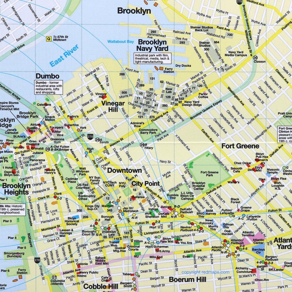
BROOKLYN Neighborhoods Street Map
Discovering Brooklyn's Charming Neighborhoods, Dining, Shops & Historic Attractions
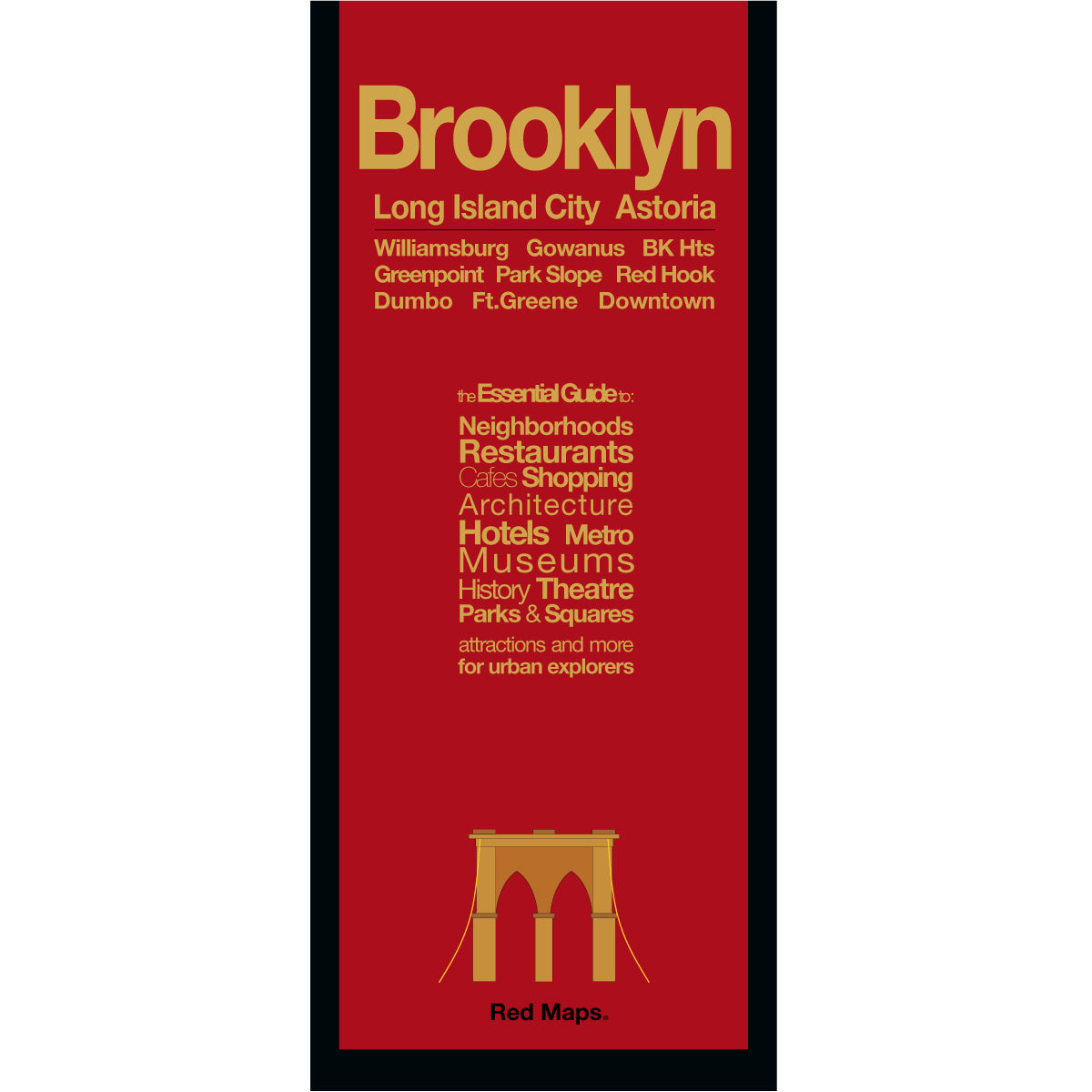
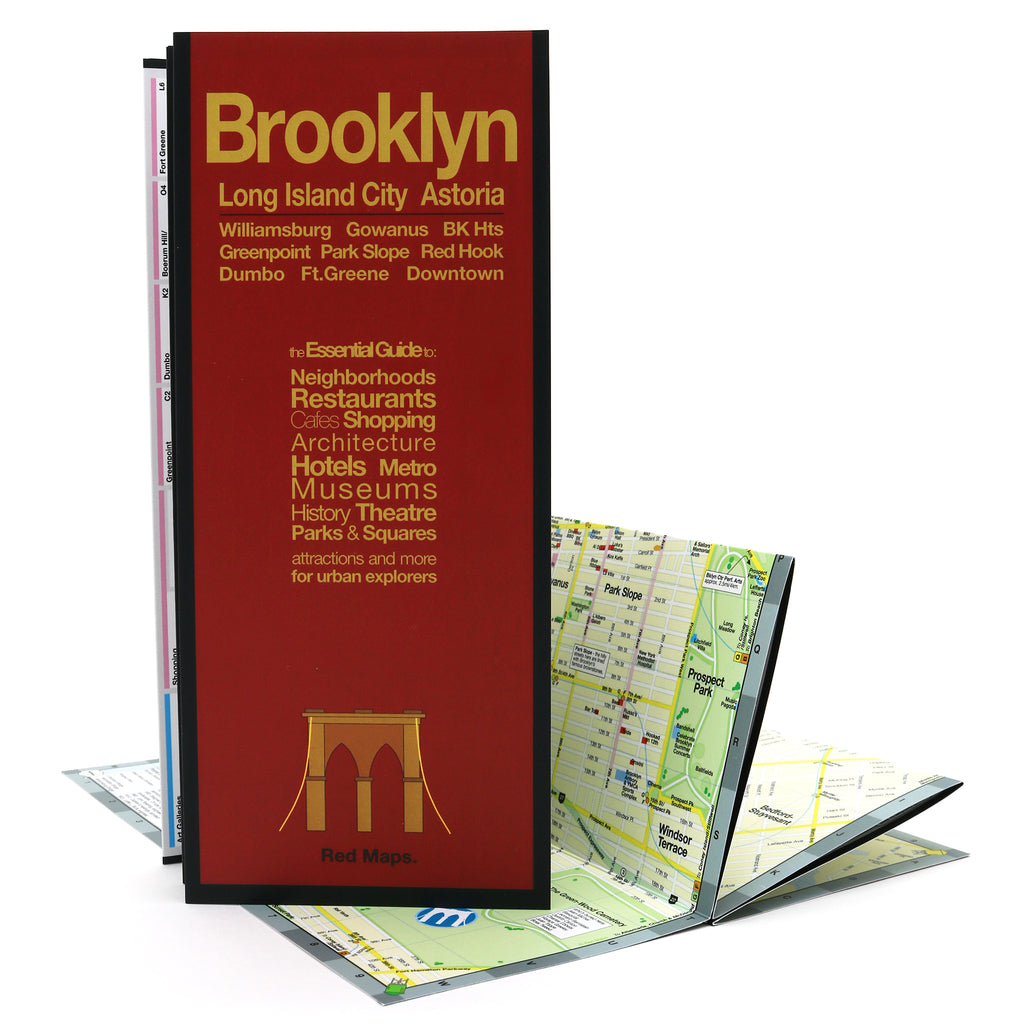
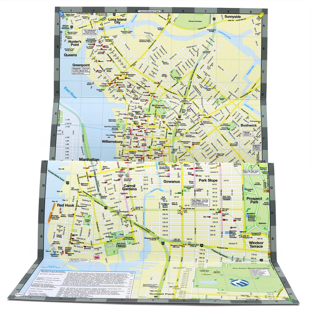
Brooklyn is one of New York City's most celebrated boroughs — a vibrant mix of culture, food, art, and neighborhoods that have become destinations in their own right. The Red Map Brooklyn gives you a detailed view, so you can navigate like a local through the streets and landmarks of Williamsburg, Greenpoint, DUMBO, Park Slope, and beyond. Includes a bonus map of Long Island City and Astoria, Queens.
FEATURED ON THE BROOKLYN MAP
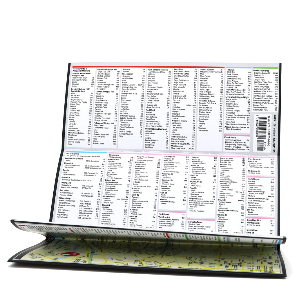
Popular attractions & points of interest.
Museums with collection highlights.
Landmarks and monuments.
Useful historical descriptions.
Restaurants, cafes & food halls.
Luxury boutiques, local shops & artisan workshops.
Parks and gardens.
Movie studios.
NYC Subway stations.
NEIGHBORHOODS ON THE MAP
Williamsburg, Greenpoint, DUMBO, Brooklyn Heights, Downtown Brooklyn, City Point, Fort Greene, Park Slope, Boerum Hill, Red Hook, Carroll Gardens, and Bushwick.
A bonus Queens map gives you the restaurants & cultural attractions of Long Island City & Astoria.
WHAT TRAVELERS SAY ABOUT USING RED MAPS
“I appreciate the care you take in your wrapping of the maps; the cards with the Pantheon for Rome and Ponte Vecchio for Florence are a lovely touch. Thank you.”
— Customer, British Columbia, CANADA
“I used your London and Paris Red Maps and found them very useful, so I ordered Vienna. I like these maps, I can actually read the street names and landmarks without having to squint!”
— Customer, Seattle, WA
AS SEEN IN & RECOMMENDED BY
Travel + Leisure, The New York Times, British Vogue, Harper's Bazaar, Condé Nast Traveller, ELLE, Wallpaper*, Town & Country, The Washington Post, The Wall Street Journal, Highsnobiety, and Madame Figaro — among over 100 purveyors of style, travel & design.
MAP DIMENSIONS & MATERIALS
Opens to 24 in. wide x 9.5 in. tall | 61 cm x 24 cm
Map folds to a compact 4 in. wide x 9.5 in. tall | 10 cm x 24 cm
Printed on premium cover-weight stock.
No-glare matte laminated finish, easy to read indoors and outdoors.
EXPLORE MORE NEW YORK CITY MAPS
Discover all our NYC companion guides for NYC Manhattan, NYC Midtown, SoHo & Nolita, and High Line & Chelsea — or get all five in the New Yorker 5-Map Set.