


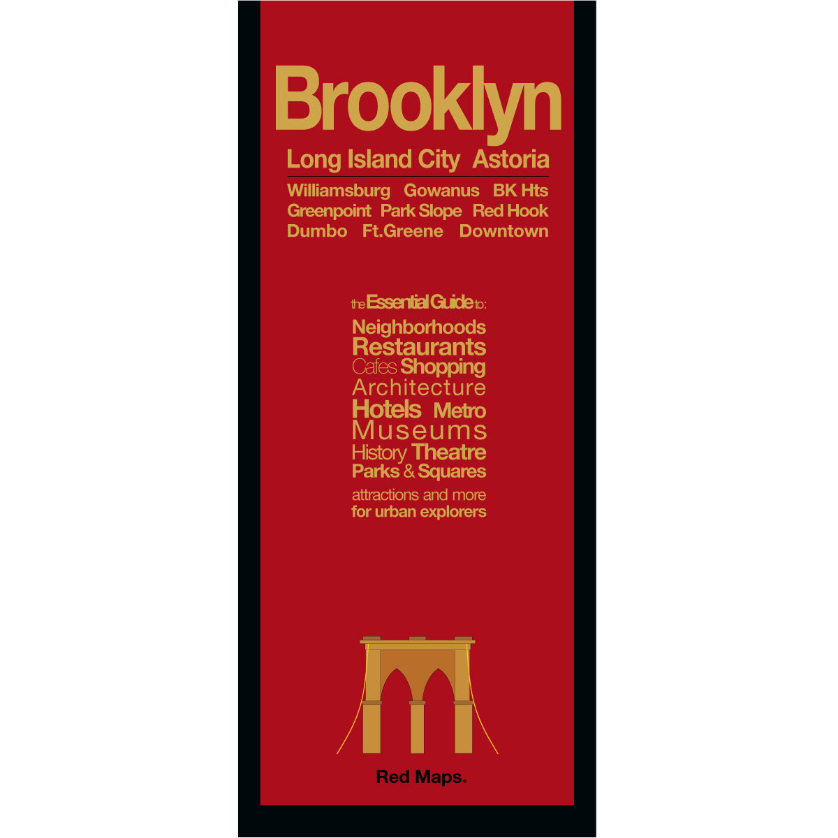

BROOKLYN Neighborhoods Street Map
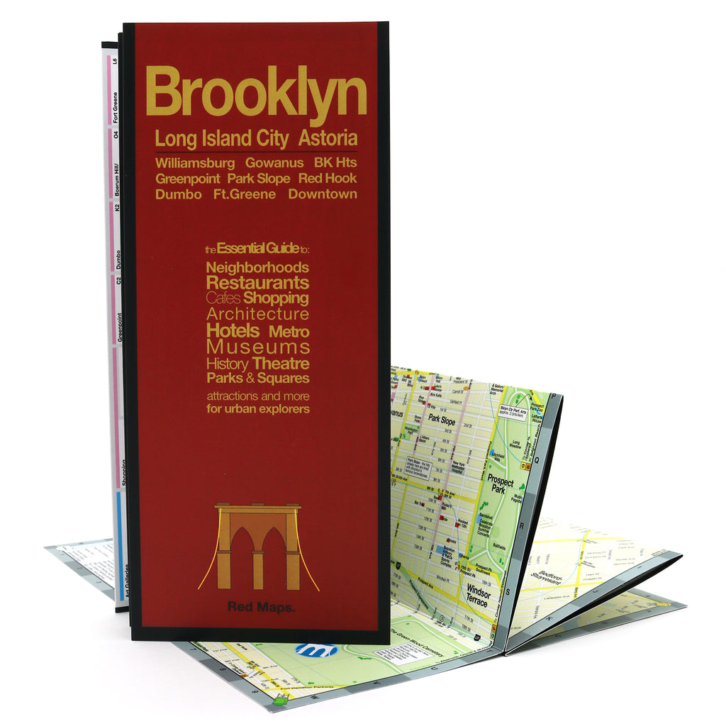
Foldout Travel Map to Brooklyn, NYC
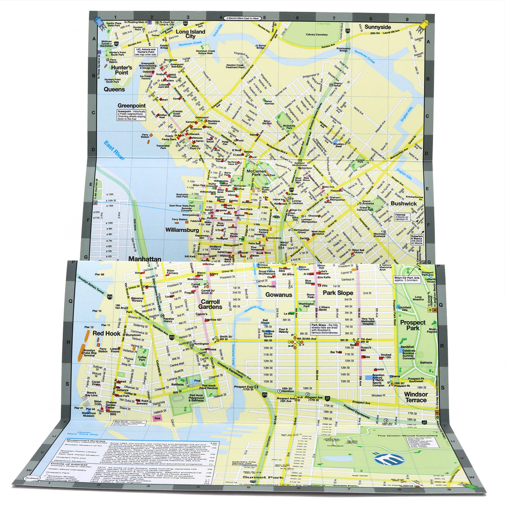
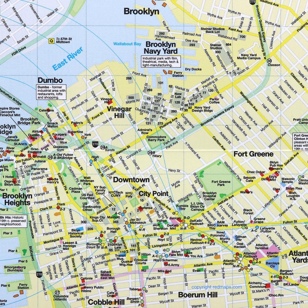
Brooklyn is one of New York City's most celebrated boroughs — a vibrant mix of culture, food, art, and neighborhoods that have become destinations in their own right. The Red Maps Brooklyn guide gives you a concise, detailed overview of the most popular neighborhoods, so you can explore Williamsburg, Greenpoint, DUMBO, Park Slope, and beyond with confidence. Includes a bonus map of Long Island City and Astoria, Queens.
INFORMATION ON THE MAP
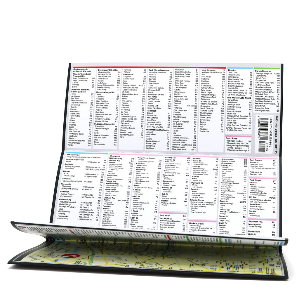
Popular attractions & points of interest.
Museums with collection highlights.
Landmarks and monuments.
Brief historical descriptions.
Restaurants, cafes & food halls.
Local shops and merchants.
Parks and gardens.
Movie studios.
NYC Subway stations.
NEIGHBORHOODS ON THE MAP
Williamsburg, Greenpoint, DUMBO, Brooklyn Heights, Downtown Brooklyn, City Point, Fort Greene, Park Slope, Boerum Hill, Red Hook, Carroll Gardens, Bushwick, plus Long Island City and Astoria, Queens.
MAP DIMENSIONS
Opens to 24 in. wide x 9.5 in. tall | 61 cm x 19 cm.
Folds to 4 in. wide x 9.5 in. tall | 24 cm x 19 cm.
No-glare matte laminated finish — easy to read indoors and outdoors.
Also available: NYC Manhattan, NYC Midtown, SoHo & Nolita, and High Line & Chelsea — or get all five in the New Yorker 5-Map Set.