


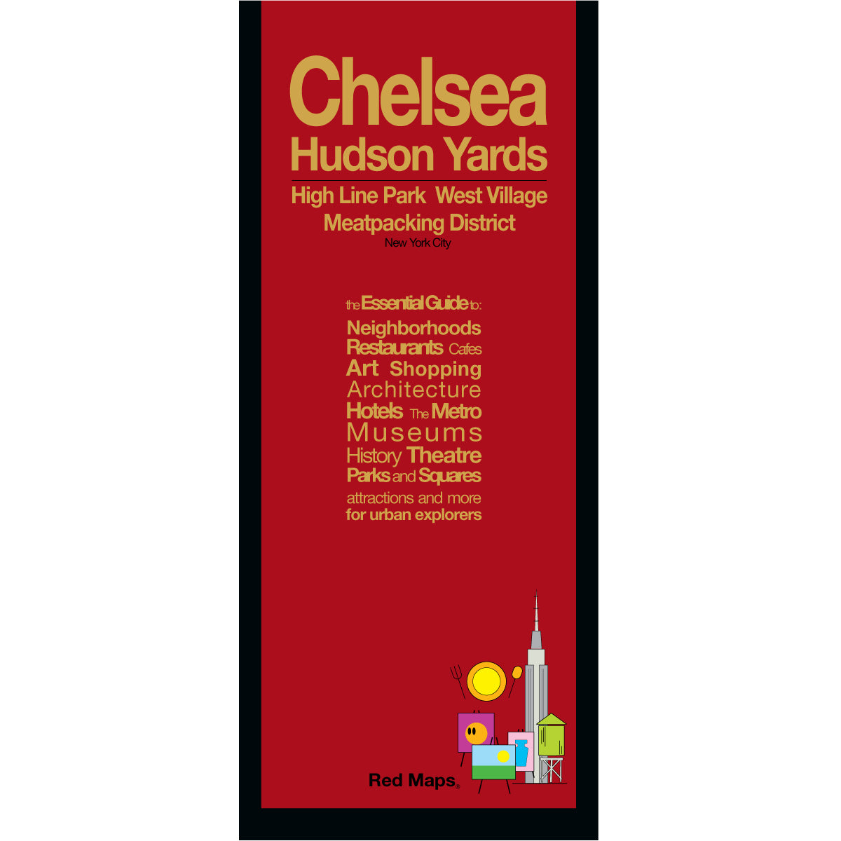


HIGH LINE, CHELSEA & HUDSON YARDS NYC Map
Foldout Travel Map to the High Line & Chelsea, NYC
The High Line and Chelsea are among New York City's most dynamic neighborhoods — world-renowned art galleries, the elevated park with sweeping Hudson River views, Hudson Yards, and some of the city's best restaurants and bars. The Red Maps High Line & Chelsea guide captures every block in unmatched building-by-building detail, so you can explore it all with confidence.
INFORMATION ON THE MAP
Popular attractions & points of interest.
Museums & contemporary art galleries.
Famous landmarks and monuments.
Architectural landmarks.
Parks and gardens.
Restaurants & cafes.
Neighborhood food halls and markets.
Cocktail bars.
NYC Subway stations.
NEIGHBORHOODS ON THE MAP
Chelsea, High Line, Hudson Yards, Meatpacking District, West Village, and Greenwich Village.
MAP DIMENSIONS
Opens to 24 in. wide x 9.5 in. tall | 61 cm x 19 cm.
Folds to 4 in. wide x 9.5 in. tall | 24 cm x 19 cm.
No-glare matte laminated finish — easy to read indoors and outdoors.
Also available: NYC Manhattan, NYC Midtown, SoHo & Nolita, and Brooklyn — or get all five in the New Yorker 5-Map Set.