


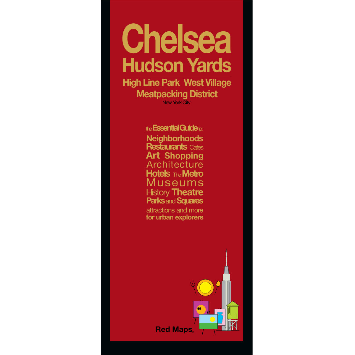
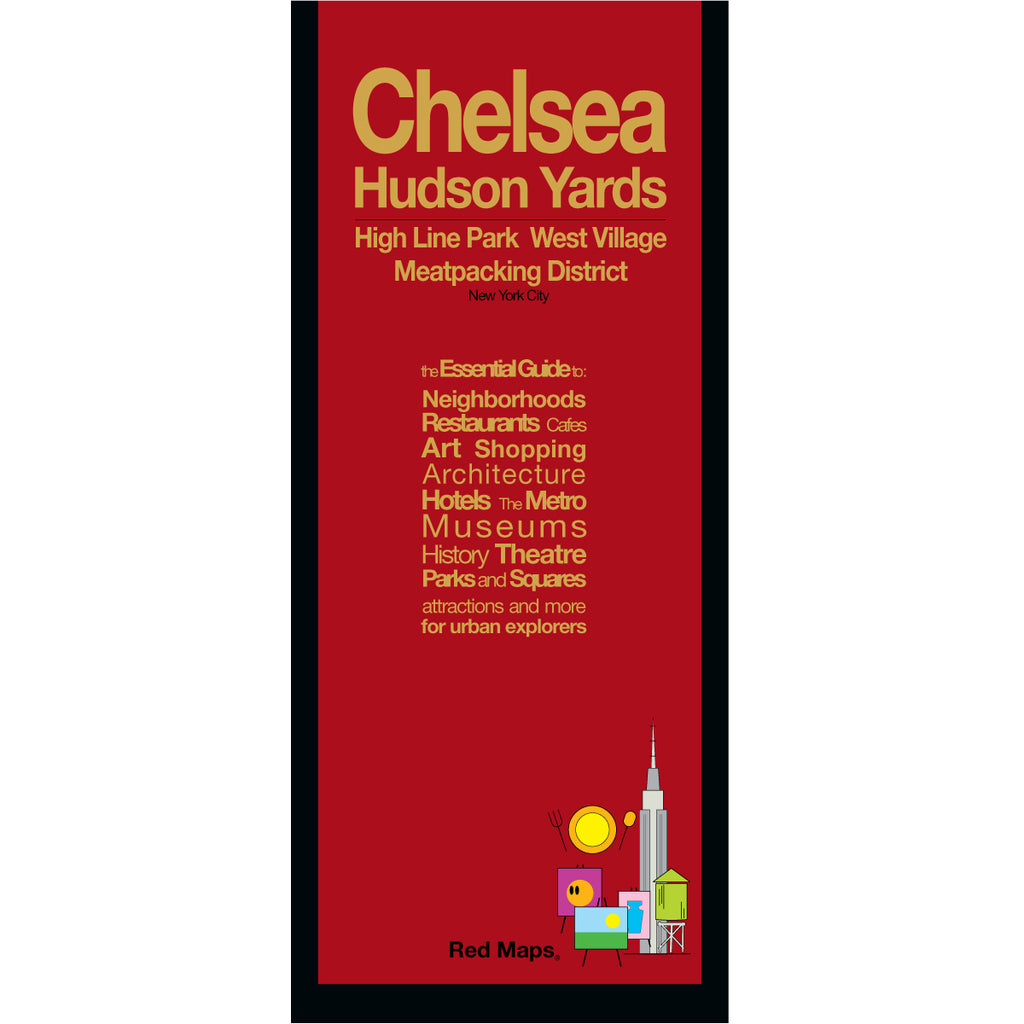


CHELSEA, HIGH LINE & HUDSON YARDS NYC Street Map
Foldout Travel & Street Map to the High Line, Chelsea & Hudson Yards Neighborhoods
The High Line and Chelsea are among New York City's most dynamic neighborhoods — world-renowned art galleries, the elevated park with sweeping Hudson River views, the architecture and shops of Hudson Yards, and the charming attractions of the West Village with some of the city's most popular restaurants and cafes.
The Red Maps guide gives you everything in block-by-block, building-by-building detail, so you can explore it all with confidence.
FEATURED ON THE HIGH LINE & CHELSEA MAP
Chelsea Market, Hudson Yards, and Little Island.
The High Line elevated park & Hudson River Greenway Park.
Contemporary art galleries district.
The Whitney Museum of American Art.
Architectural landmarks & historic brownstone streets.
Parks, public plazas, and waterfront piers.
Restaurants and cafes.
Boutique shops & neighborhood markets.
NYC Subway stations clearly marked.
NEIGHBORHOODS ON THE MAP
Chelsea, High Line, Hudson Yards, Meatpacking District, West Village, and Greenwich Village.
TRAVELERS ALSO PAIR WITH
Travelers exploring Chelsea and the High Line Park areas frequently pair this guide with our main NYC Manhattan Map—see all individual guides in our New York City Collection, or choose the New Yorker 5-Map Set for complete neighborhood coverage and built-in set savings.
WHAT TRAVELERS SAY ABOUT USING RED MAPS
“I appreciate the care you take in your wrapping of the maps; the cards with the Pantheon for Rome and Ponte Vecchio for Florence are a lovely touch. Thank you.”
— Customer, British Columbia, CANADA
“I used your London and Paris Red Maps and found them very useful, so I ordered Vienna. I like these maps, I can actually read the street names and landmarks without having to squint!”
— Customer, Seattle, WA
AS SEEN IN & RECOMMENDED BY
Travel + Leisure, The New York Times, British Vogue, Harper's Bazaar, Condé Nast Traveller, ELLE, Wallpaper*, Town & Country, The Washington Post, The Wall Street Journal, Highsnobiety, and Madame Figaro — among over 100 purveyors of style, travel & design.
MAP DIMENSIONS & MATERIALS
Opens to 24 in. wide x 9.5 in. tall | 61 cm x 24 cm
Map folds to a compact 4 in. wide x 9.5 in. tall | 10 cm x 24 cm
Printed on premium cover-weight stock.
No-glare matte laminated finish, easy to read indoors and outdoors.